Distance to Dawes, West Virginia
Location Information
-
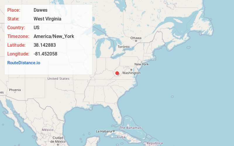
Full AddressDawes, WV 25134
-
Coordinates38.1428826, -81.4520584
-
LocationDawes , West Virginia , US
-
TimezoneAmerica/New_York
-
Current Local Time11:23:19 PM America/New_YorkWednesday, May 14, 2025
-
Page Views0
About Dawes
Dawes is an unincorporated community in Kanawha County, West Virginia, United States. Dawes is 5 miles south of East Bank along Cabin Creek. Dawes has a post office with ZIP code 25054.
Nearby Places
Found 10 places within 50 miles

Livingston
2.7 mi
4.3 km
Livingston, WV 25083
Get directions
Gallagher
3.4 mi
5.5 km
Gallagher, WV 25083
Get directions
Eskdale
3.6 mi
5.8 km
Eskdale, WV 25075
Get directions

Chelyan
4.2 mi
6.8 km
Chelyan, WV
Get directions
Hollygrove
4.5 mi
7.2 km
Hollygrove, WV 25103
Get directions
Shrewsbury
4.5 mi
7.2 km
Shrewsbury, WV 25015
Get directions
Nuckolls
4.8 mi
7.7 km
Nuckolls, WV 25075
Get directions
East Bank
5.2 mi
8.4 km
East Bank, WV 25067
Get directions


Leaflet © OpenStreetMap contributors
Location Links
Local Weather
Weather Information
Coming soon!
Location Map
Static map view of Dawes, West Virginia
Browse Places by Distance
Places within specific distances from Dawes
Short Distances
Long Distances
Click any distance to see all places within that range from Dawes. Distances shown in miles (1 mile ≈ 1.61 kilometers).