Distance to Chelyan, West Virginia

Calculating Your Route
Just a moment while we process your request...
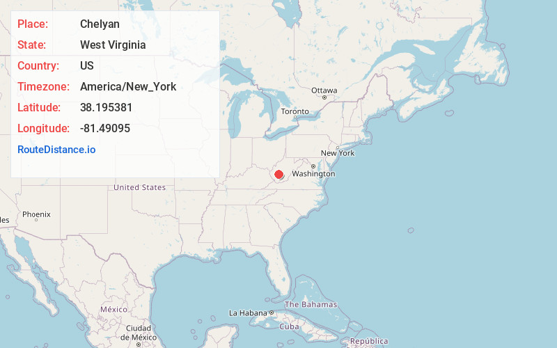
Location Information
-
Full AddressChelyan, WV
-
Coordinates38.195381, -81.4909497
-
LocationChelyan , West Virginia , US
-
TimezoneAmerica/New_York
-
Current Local Time8:14:22 AM America/New_YorkSaturday, May 31, 2025
-
Page Views0
About Chelyan
Chelyan is a census-designated place in Kanawha County, West Virginia, United States. Chelyan is located on the south bank of the Kanawha River, southeast of Chesapeake. It is served by Exit 85 of the West Virginia Turnpike. As of the 2010 census, its population was 776.


Nearby Places
Found 10 places within 50 miles

East Bank
3.0 mi
4.8 km
East Bank, WV 25067
Get directions

Chesapeake
3.1 mi
5.0 km
Chesapeake, WV
Get directions

Belle
3.6 mi
5.8 km
Belle, WV 25015
Get directions

Glasgow
3.9 mi
6.3 km
Glasgow, WV
Get directions

Cedar Grove
3.9 mi
6.3 km
Cedar Grove, WV
Get directions

Marmet
5.4 mi
8.7 km
Marmet, WV
Get directions
Dupont City
6.4 mi
10.3 km
Dupont City, WV 25015
Get directions
Rand
7.2 mi
11.6 km
Rand, WV 25306
Get directions

Coal Fork
8.6 mi
13.8 km
Coal Fork, WV 25306
Get directions

Montgomery
8.9 mi
14.3 km
Montgomery, WV 25136
Get directions
Location Links
Local Weather
Weather Information
Coming soon!
Location Map
Static map view of Chelyan, West Virginia
Browse Places by Distance
Places within specific distances from Chelyan
Short Distances
Long Distances
Click any distance to see all places within that range from Chelyan. Distances shown in miles (1 mile ≈ 1.61 kilometers).