Distance to Rand, West Virginia

Calculating Your Route
Just a moment while we process your request...
Location Information
-
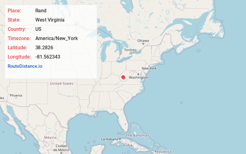
Full AddressRand, WV 25306
-
Coordinates38.2826001, -81.5623425
-
LocationWest Virginia , US
-
TimezoneAmerica/New_York
-
Current Local Time12:42:43 AM America/New_YorkSaturday, June 14, 2025
-
Page Views0
About Rand
Rand is a census-designated place on the Kanawha River in Kanawha County, West Virginia, United States. As of the 2010 census, its population was 1,631. It is surrounded by the communities of Malden and DuPont City.
Nearby Places
Found 10 places within 50 miles

Marmet
2.6 mi
4.2 km
Marmet, WV
Get directions

Coal Fork
3.3 mi
5.3 km
Coal Fork, WV 25306
Get directions

Belle
3.7 mi
6.0 km
Belle, WV 25015
Get directions

Chesapeake
4.3 mi
6.9 km
Chesapeake, WV
Get directions

Charleston
6.0 mi
9.7 km
Charleston, WV
Get directions

South Charleston
9.5 mi
15.3 km
South Charleston, WV
Get directions

Pinch
9.7 mi
15.6 km
Pinch, WV 25071
Get directions

Dunbar
10.9 mi
17.5 km
Dunbar, WV 25064
Get directions

Alum Creek
13.5 mi
21.7 km
Alum Creek, WV
Get directions

Montgomery
14.5 mi
23.3 km
Montgomery, WV 25136
Get directions
Location Links
Local Weather
Weather Information
Coming soon!
Location Map
Static map view of Rand, West Virginia
Browse Places by Distance
Places within specific distances from Rand
Short Distances
Long Distances
Click any distance to see all places within that range from Rand. Distances shown in miles (1 mile ≈ 1.61 kilometers).