Distance to Dawson, North Carolina

Calculating Your Route
Just a moment while we process your request...
Location Information
-
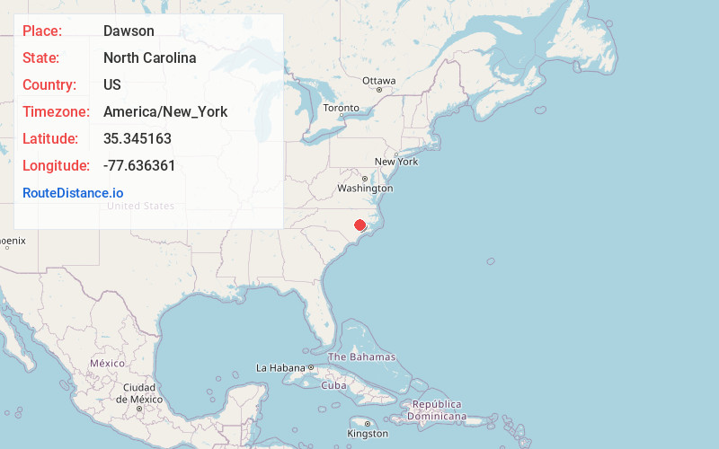
Full AddressDawson, NC 28504
-
Coordinates35.3451626, -77.6363608
-
LocationNorth Carolina , US
-
TimezoneAmerica/New_York
-
Current Local Time5:12:41 PM America/New_YorkTuesday, June 17, 2025
-
Page Views0
Nearby Places
Found 10 places within 50 miles

Wootens Crossroads
2.2 mi
3.5 km
Wootens Crossroads, NC 28538
Get directions
Mewborns Crossroads
2.5 mi
4.0 km
Mewborns Crossroads, NC 28504
Get directions
Glenfield Crossroads
3.5 mi
5.6 km
Glenfield Crossroads, NC 28580
Get directions
Institute
4.5 mi
7.2 km
Institute, NC 28551
Get directions
Arba
5.4 mi
8.7 km
Arba, NC 28580
Get directions
Hookerton
6.2 mi
10.0 km
Hookerton, NC
Get directions
Harveytown
6.3 mi
10.1 km
Harveytown, Kinston, NC 28501
Get directions

Kinston
6.5 mi
10.5 km
Kinston, NC
Get directions
Falling Creek
6.5 mi
10.5 km
Falling Creek, NC 28504
Get directions
Fields
6.8 mi
10.9 km
Fields, NC 28551
Get directions
Location Links
Local Weather
Weather Information
Coming soon!
Location Map
Static map view of Dawson, North Carolina
Browse Places by Distance
Places within specific distances from Dawson
Short Distances
Long Distances
Click any distance to see all places within that range from Dawson. Distances shown in miles (1 mile ≈ 1.61 kilometers).