Distance to Glenfield Crossroads, North Carolina

Calculating Your Route
Just a moment while we process your request...
Location Information
-
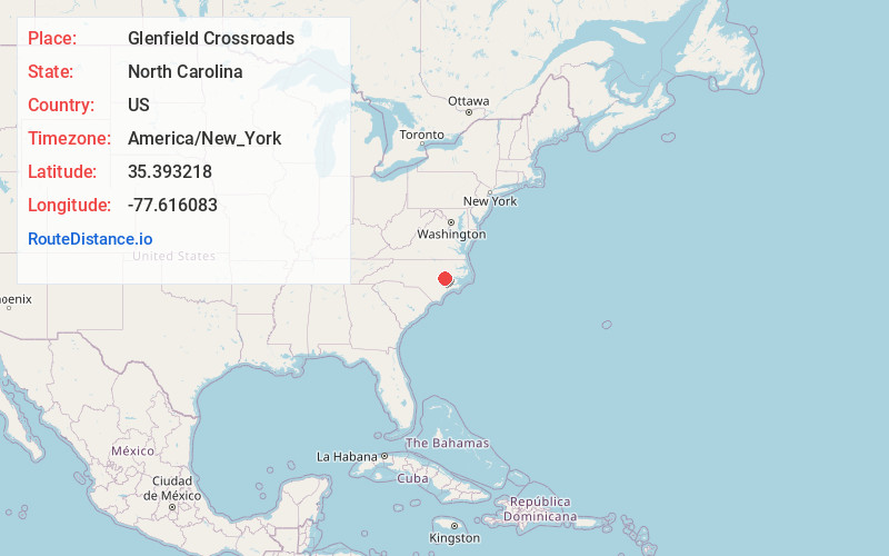
Full AddressGlenfield Crossroads, NC 28580
-
Coordinates35.3932179, -77.6160826
-
LocationNorth Carolina , US
-
TimezoneAmerica/New_York
-
Current Local Time5:12:58 PM America/New_YorkTuesday, June 17, 2025
-
Page Views0
Nearby Places
Found 10 places within 50 miles

Hookerton
2.7 mi
4.3 km
Hookerton, NC
Get directions

Snow Hill
5.4 mi
8.7 km
Snow Hill, NC 28580
Get directions
Maury
6.3 mi
10.1 km
Maury, NC
Get directions

Kinston
9.2 mi
14.8 km
Kinston, NC
Get directions

Grifton
10.2 mi
16.4 km
Grifton, NC
Get directions

La Grange
11.4 mi
18.3 km
La Grange, NC 28551
Get directions

Ayden
12.6 mi
20.3 km
Ayden, NC 28513
Get directions

Farmville
14.1 mi
22.7 km
Farmville, NC 27828
Get directions

Walstonburg
14.6 mi
23.5 km
Walstonburg, NC 27888
Get directions
Bell Arthur
14.8 mi
23.8 km
Bell Arthur, NC
Get directions
Location Links
Local Weather
Weather Information
Coming soon!
Location Map
Static map view of Glenfield Crossroads, North Carolina
Browse Places by Distance
Places within specific distances from Glenfield Crossroads
Short Distances
Long Distances
Click any distance to see all places within that range from Glenfield Crossroads. Distances shown in miles (1 mile ≈ 1.61 kilometers).