Distance to Days High Landing, Minnesota

Calculating Your Route
Just a moment while we process your request...
Location Information
-
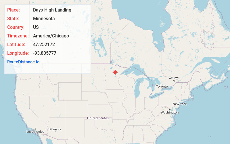
Full AddressDays High Landing, MN 56636
-
Coordinates47.2521723, -93.805777
-
LocationDays High Landing , Minnesota , US
-
TimezoneAmerica/Chicago
-
Current Local Time12:12:27 AM America/ChicagoMonday, June 9, 2025
-
Page Views0
Nearby Places
Found 10 places within 50 miles

Zemple
5.0 mi
8.0 km
Zemple, MN 56636
Get directions

Deer River
5.6 mi
9.0 km
Deer River, MN 56636
Get directions

Cohasset
8.6 mi
13.8 km
Cohasset, MN
Get directions

Bass Brook
9.1 mi
14.6 km
Bass Brook, Cohasset, MN 55721
Get directions

Ball Club Lake
9.8 mi
15.8 km
Ball Club Lake, Bowstring Lake, MN 56636
Get directions

Grand Rapids
13.1 mi
21.1 km
Grand Rapids, MN 55744
Get directions

Remer
14.5 mi
23.3 km
Remer, MN 56672
Get directions

La Prairie
14.9 mi
24.0 km
La Prairie, MN 55744
Get directions

Boy River
15.9 mi
25.6 km
Boy River, MN 56672
Get directions
Suomi
16.3 mi
26.2 km
Suomi, MN 56636
Get directions
Location Links
Local Weather
Weather Information
Coming soon!
Location Map
Static map view of Days High Landing, Minnesota
Browse Places by Distance
Places within specific distances from Days High Landing
Short Distances
Long Distances
Click any distance to see all places within that range from Days High Landing. Distances shown in miles (1 mile ≈ 1.61 kilometers).