Distance to Decatur, Iowa

Calculating Your Route
Just a moment while we process your request...
Location Information
-
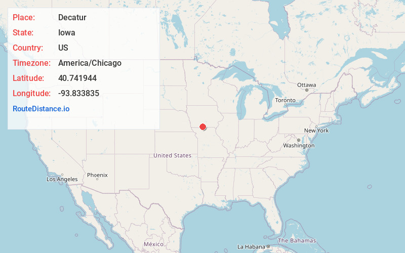
Full AddressDecatur, IA
-
Coordinates40.7419443, -93.8338346
-
LocationDecatur , Iowa , US
-
TimezoneAmerica/Chicago
-
Current Local Time6:30:55 AM America/ChicagoSunday, June 22, 2025
-
Page Views0
About Decatur
Decatur is a city in Decatur County, Iowa, United States. The population was 175 at the time of the 2020 census.

Nearby Places
Found 10 places within 50 miles

Leon
4.5 mi
7.2 km
Leon, IA 50144
Get directions

Davis City
7.2 mi
11.6 km
Davis City, IA 50065
Get directions
Grand River
8.6 mi
13.8 km
Grand River, IA 50108
Get directions

Lamoni
9.8 mi
15.8 km
Lamoni, IA
Get directions
Kellerton
11.5 mi
18.5 km
Kellerton, IA 50133
Get directions

Garden Grove
13.2 mi
21.2 km
Garden Grove, IA 50103
Get directions
Blythedale
19.1 mi
30.7 km
Blythedale, MO 64426
Get directions

Humeston
19.4 mi
31.2 km
Humeston, IA 50123
Get directions

Lineville
19.6 mi
31.5 km
Lineville, IA 50147
Get directions

Eagleville
20.5 mi
33.0 km
Eagleville, MO 64442
Get directions
Location Links
Local Weather
Weather Information
Coming soon!
Location Map
Static map view of Decatur, Iowa
Browse Places by Distance
Places within specific distances from Decatur
Short Distances
Long Distances
Click any distance to see all places within that range from Decatur. Distances shown in miles (1 mile ≈ 1.61 kilometers).