Distance to Deford, Michigan

Calculating Your Route
Just a moment while we process your request...
Location Information
-
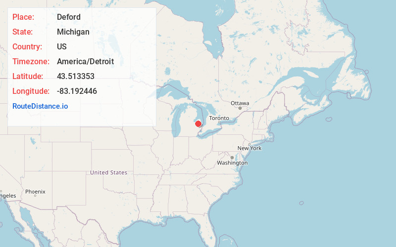
Full AddressDeford, MI 48729
-
Coordinates43.5133532, -83.192446
-
LocationDeford , Michigan , US
-
TimezoneAmerica/Detroit
-
Current Local Time5:08:45 AM America/DetroitSaturday, June 21, 2025
-
Page Views0
About Deford
Deford is an unincorporated community in Tuscola County in the U.S. state of Michigan, located along Bruce/Deckerville Road west of the intersection with Kingston Road, north of Kingston and south of Cass City in the southeast corner of Novesta Township.
Nearby Places
Found 10 places within 50 miles

Wilmot
3.4 mi
5.5 km
Wilmot, MI 48729
Get directions
Dayton
6.0 mi
9.7 km
Dayton, MI 48723
Get directions

Cass City
6.1 mi
9.8 km
Cass City, MI 48726
Get directions
Daytona Branch
6.2 mi
10.0 km
Daytona Branch, Wells Township, MI 48723
Get directions
Hemans
6.3 mi
10.1 km
Hemans, Lamotte Township, MI 48426
Get directions

Kingston
6.8 mi
10.9 km
Kingston, MI 48741
Get directions
Shabbona
7.0 mi
11.3 km
Shabbona, Evergreen Township, MI 48426
Get directions

Lamotte Township
8.2 mi
13.2 km
Lamotte Township, MI
Get directions
East Dayton
8.5 mi
13.7 km
East Dayton, Wells Township, MI 48723
Get directions
Wickware
10.0 mi
16.1 km
Wickware, MI 48475
Get directions
Location Links
Local Weather
Weather Information
Coming soon!
Location Map
Static map view of Deford, Michigan
Browse Places by Distance
Places within specific distances from Deford
Short Distances
Long Distances
Click any distance to see all places within that range from Deford. Distances shown in miles (1 mile ≈ 1.61 kilometers).