Distance to Delft, Zuid-Holland

Calculating Your Route
Just a moment while we process your request...
Location Information
-
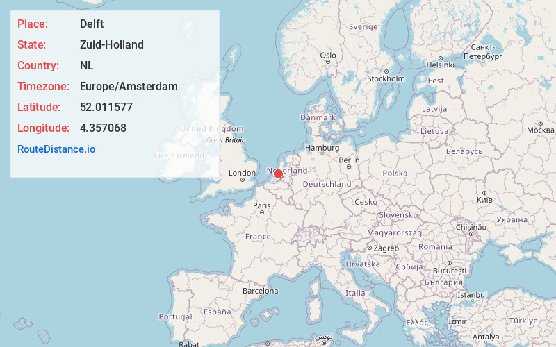
Full AddressDelft, Netherlands
-
Coordinates52.0115769, 4.3570677
-
LocationDelft , Zuid-Holland , NL
-
TimezoneEurope/Amsterdam
-
Current Local Time11:36:12 AM Europe/AmsterdamSaturday, June 28, 2025
-
Page Views0
About Delft
Delft, a canal-ringed city in the western Netherlands, is known as the manufacturing base for Delftware, hand-painted blue-and-white pottery. In its old town, the medieval Oude Kerk is the burial site of native son and Dutch Master painter Johannes Vermeer. Once the seat of the royal House of Orange, the 15th-century Nieuwe Kerk houses the family's tombs and overlooks Delft's lively market square.


Nearby Places
Found 8 places within 50 miles

The Hague
4.7 mi
7.6 km
The Hague, Netherlands
Get directions

Rotterdam
7.9 mi
12.7 km
Rotterdam, Netherlands
Get directions

Hook of Holland
9.7 mi
15.6 km
Hook of Holland, Netherlands
Get directions

Haarlem
28.7 mi
46.2 km
Haarlem, Netherlands
Get directions

Het Amsterdamse Bos
29.1 mi
46.8 km
Het Amsterdamse Bos, Amstelveen, Netherlands
Get directions

Utrecht
33.0 mi
53.1 km
Utrecht, Netherlands
Get directions

Amsterdam
33.8 mi
54.4 km
Amsterdam, Netherlands
Get directions

Netherlands
40.5 mi
65.2 km
Netherlands
Get directions
Location Links
Local Weather
Weather Information
Coming soon!
Location Map
Static map view of Delft, Zuid-Holland
Browse Places by Distance
Places within specific distances from Delft
Short Distances
Long Distances
Click any distance to see all places within that range from Delft. Distances shown in miles (1 mile ≈ 1.61 kilometers).