Distance to Delia, Kentucky

Calculating Your Route
Just a moment while we process your request...
Location Information
-
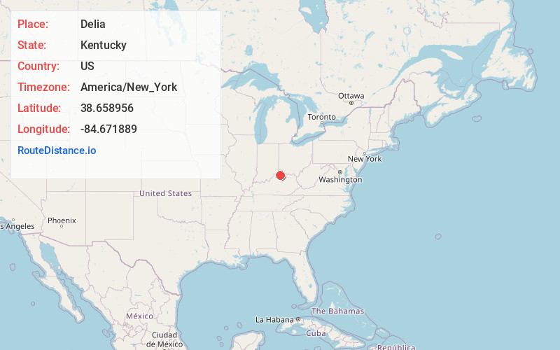
Full AddressDelia, KY 41035
-
Coordinates38.6589561, -84.6718893
-
LocationKentucky , US
-
TimezoneAmerica/New_York
-
Current Local Time7:09:47 PM America/New_YorkTuesday, May 20, 2025
-
Page Views0
Nearby Places
Found 10 places within 50 miles

Grant County
1.3 mi
2.1 km
Grant County, KY
Get directions

Stewartsville
2.2 mi
3.5 km
Stewartsville, KY 41097
Get directions
Downingsville
2.5 mi
4.0 km
Downingsville, KY 41035
Get directions

Dry Ridge
4.7 mi
7.6 km
Dry Ridge, KY 41035
Get directions
Heekin
5.1 mi
8.2 km
Heekin, KY 41097
Get directions
Holbrook
5.2 mi
8.4 km
Holbrook, KY 41097
Get directions

Mt Zion
5.7 mi
9.2 km
Mt Zion, KY 41035
Get directions
Hensley Ford
6.0 mi
9.7 km
Hensley Ford, KY 40359
Get directions

Williamstown
6.2 mi
10.0 km
Williamstown, KY
Get directions
Sherman
6.5 mi
10.5 km
Sherman, KY 41035
Get directions
Location Links
Local Weather
Weather Information
Coming soon!
Location Map
Static map view of Delia, Kentucky
Browse Places by Distance
Places within specific distances from Delia
Short Distances
Long Distances
Click any distance to see all places within that range from Delia. Distances shown in miles (1 mile ≈ 1.61 kilometers).