Distance to Williamstown, Kentucky

Calculating Your Route
Just a moment while we process your request...
Location Information
-
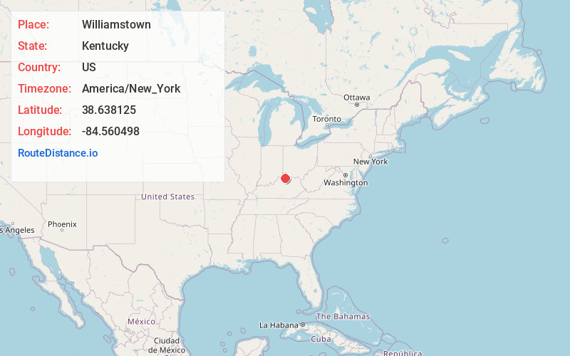
Full AddressWilliamstown, KY
-
Coordinates38.6381245, -84.5604977
-
LocationWilliamstown , Kentucky , US
-
TimezoneAmerica/New_York
-
Current Local Time12:39:42 PM America/New_YorkThursday, June 19, 2025
-
Page Views0
About Williamstown
Williamstown is a home-rule-class city in Grant and Pendleton counties in the U.S. state of Kentucky. The population was 3,925 at the 2010 census, up from 3,227 as of the 2000 census. It is the county seat of Grant County.


Nearby Places
Found 10 places within 50 miles

Crittenden
10.4 mi
16.7 km
Crittenden, KY
Get directions

Walton
16.6 mi
26.7 km
Walton, KY 41094
Get directions

Independence
21.1 mi
34.0 km
Independence, KY
Get directions

Union
22.2 mi
35.7 km
Union, KY
Get directions

Cynthiana
22.4 mi
36.0 km
Cynthiana, KY 41031
Get directions

Alexandria
24.1 mi
38.8 km
Alexandria, KY 41001
Get directions

Taylor Mill
25.1 mi
40.4 km
Taylor Mill, KY
Get directions

Florence
25.2 mi
40.6 km
Florence, KY
Get directions

Oakbrook
25.9 mi
41.7 km
Oakbrook, KY
Get directions

Elsmere
26.0 mi
41.8 km
Elsmere, KY
Get directions
Location Links
Local Weather
Weather Information
Coming soon!
Location Map
Static map view of Williamstown, Kentucky
Browse Places by Distance
Places within specific distances from Williamstown
Short Distances
Long Distances
Click any distance to see all places within that range from Williamstown. Distances shown in miles (1 mile ≈ 1.61 kilometers).