Distance to Taylor Mill, Kentucky

Calculating Your Route
Just a moment while we process your request...
Location Information
-
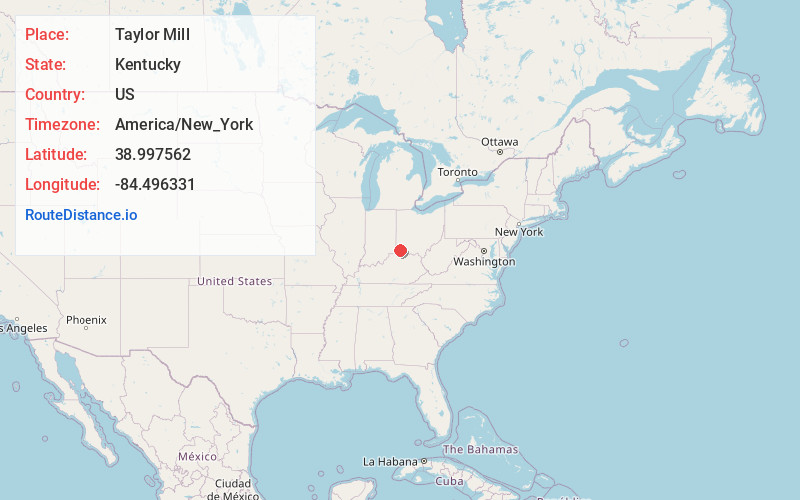
Full AddressTaylor Mill, KY
-
Coordinates38.9975616, -84.4963305
-
LocationTaylor Mill , Kentucky , US
-
TimezoneAmerica/New_York
-
Current Local Time11:43:03 PM America/New_YorkMonday, June 2, 2025
-
Page Views0
About Taylor Mill
Taylor Mill is a home rule-class city in Kenton County, Kentucky, in the United States. The population was 6,873 at the 2020 census.


Nearby Places
Found 10 places within 50 miles

Independence
4.6 mi
7.4 km
Independence, KY
Get directions

Edgewood
4.8 mi
7.7 km
Edgewood, KY
Get directions

Fort Mitchell
4.8 mi
7.7 km
Fort Mitchell, KY
Get directions

Erlanger
5.8 mi
9.3 km
Erlanger, KY
Get directions

Elsmere
5.9 mi
9.5 km
Elsmere, KY
Get directions

Fort Thomas
6.0 mi
9.7 km
Fort Thomas, KY
Get directions

Covington
6.0 mi
9.7 km
Covington, KY
Get directions

Alexandria
6.4 mi
10.3 km
Alexandria, KY 41001
Get directions

Newport
6.5 mi
10.5 km
Newport, KY
Get directions

Villa Hills
6.9 mi
11.1 km
Villa Hills, KY 41017
Get directions
Location Links
Local Weather
Weather Information
Coming soon!
Location Map
Static map view of Taylor Mill, Kentucky
Browse Places by Distance
Places within specific distances from Taylor Mill
Short Distances
Long Distances
Click any distance to see all places within that range from Taylor Mill. Distances shown in miles (1 mile ≈ 1.61 kilometers).