Distance to Delleker, California

Calculating Your Route
Just a moment while we process your request...
Location Information
-
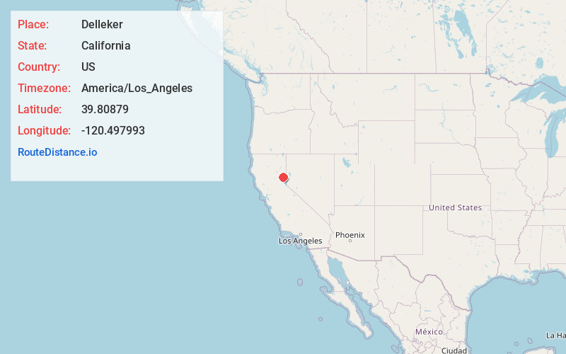
Full AddressDelleker, CA 96122
-
Coordinates39.8087896, -120.4979932
-
LocationDelleker , California , US
-
TimezoneAmerica/Los_Angeles
-
Current Local Time4:20:29 PM America/Los_AngelesWednesday, June 18, 2025
-
Page Views0
About Delleker
Delleker is a census-designated place in Plumas County, California, USA. The population was 705 at the 2010 census, up from 674 at the 2000 census.
Nearby Places
Found 10 places within 50 miles

Portola
1.5 mi
2.4 km
Portola, CA 96122
Get directions

Beckwourth
6.4 mi
10.3 km
Beckwourth, CA
Get directions

Graeagle
7.0 mi
11.3 km
Graeagle, CA 96103
Get directions

Plumas Eureka
9.2 mi
14.8 km
Plumas Eureka, CA 96103
Get directions

Cromberg
10.9 mi
17.5 km
Cromberg, CA
Get directions

Loyalton
16.4 mi
26.4 km
Loyalton, CA 96118
Get directions
Sierra Brooks
18.8 mi
30.3 km
Sierra Brooks, CA 96118
Get directions

Chilcoot-Vinton
19.8 mi
31.9 km
Chilcoot-Vinton, CA
Get directions

East Quincy
23.2 mi
37.3 km
East Quincy, CA 95971
Get directions

Quincy
25.4 mi
40.9 km
Quincy, CA 95971
Get directions
Location Links
Local Weather
Weather Information
Coming soon!
Location Map
Static map view of Delleker, California
Browse Places by Distance
Places within specific distances from Delleker
Short Distances
Long Distances
Click any distance to see all places within that range from Delleker. Distances shown in miles (1 mile ≈ 1.61 kilometers).