Distance to Sierra Brooks, California

Calculating Your Route
Just a moment while we process your request...
Location Information
-
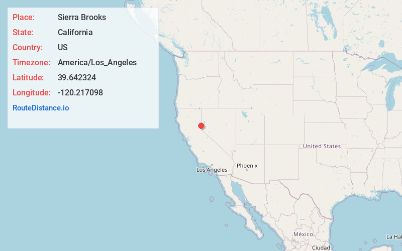
Full AddressSierra Brooks, CA 96118
-
Coordinates39.6423242, -120.2170984
-
LocationSierra Brooks , California , US
-
TimezoneAmerica/Los_Angeles
-
Current Local Time11:29:55 AM America/Los_AngelesThursday, June 19, 2025
-
Page Views0
About Sierra Brooks
Sierra Brooks is a census-designated place in Sierra County, California. Sierra Brooks sits at an elevation of 5,180 feet. The 2010 United States census reported Sierra Brooks's population was 478.
Nearby Places
Found 10 places within 50 miles

Loyalton
2.7 mi
4.3 km
Loyalton, CA 96118
Get directions

Cold Springs
13.1 mi
21.1 km
Cold Springs, NV 89508
Get directions

Verdi
14.9 mi
24.0 km
Verdi, NV
Get directions

Portola
17.7 mi
28.5 km
Portola, CA 96122
Get directions

Mogul
17.9 mi
28.8 km
Mogul, NV 89523
Get directions

Golden Valley
21.3 mi
34.3 km
Golden Valley, NV
Get directions

Truckee
21.8 mi
35.1 km
Truckee, CA 96161
Get directions

Reno
22.8 mi
36.7 km
Reno, NV
Get directions

Sun Valley
23.7 mi
38.1 km
Sun Valley, NV
Get directions

Sparks
25.8 mi
41.5 km
Sparks, NV
Get directions
Location Links
Local Weather
Weather Information
Coming soon!
Location Map
Static map view of Sierra Brooks, California
Browse Places by Distance
Places within specific distances from Sierra Brooks
Short Distances
Long Distances
Click any distance to see all places within that range from Sierra Brooks. Distances shown in miles (1 mile ≈ 1.61 kilometers).