Distance to Mogul, Nevada

Calculating Your Route
Just a moment while we process your request...
Location Information
-
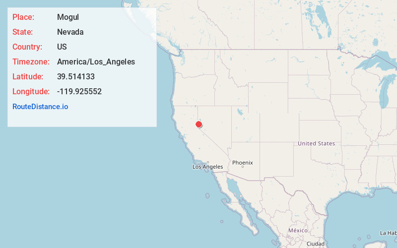
Full AddressMogul, NV 89523
-
Coordinates39.514133, -119.9255519
-
LocationMogul , Nevada , US
-
TimezoneAmerica/Los_Angeles
-
Current Local Time11:58:12 PM America/Los_AngelesFriday, June 20, 2025
-
Page Views0
About Mogul
Mogul is a census-designated place in Washoe County, Nevada, United States. It lies on the western side of the Reno–Sparks Metropolitan Statistical Area, just off Interstate 80. The population was 1,290 at the 2010 census. Prior to 2010, the community was part of the Verdi-Mogul CDP.

Nearby Places
Found 10 places within 50 miles

Reno
6.0 mi
9.7 km
Reno, NV
Get directions

Sparks
9.3 mi
15.0 km
Sparks, NV
Get directions

Sun Valley
9.8 mi
15.8 km
Sun Valley, NV
Get directions

Cold Springs
11.8 mi
19.0 km
Cold Springs, NV 89508
Get directions

Spanish Springs
14.9 mi
24.0 km
Spanish Springs, NV
Get directions

New Washoe City
17.0 mi
27.4 km
New Washoe City, NV 89704
Get directions

Incline Village
18.3 mi
29.5 km
Incline Village, NV
Get directions

Truckee
18.8 mi
30.3 km
Truckee, CA 96161
Get directions

Kings Beach
19.8 mi
31.9 km
Kings Beach, CA
Get directions

Carson City
25.6 mi
41.2 km
Carson City, NV
Get directions
Location Links
Local Weather
Weather Information
Coming soon!
Location Map
Static map view of Mogul, Nevada
Browse Places by Distance
Places within specific distances from Mogul
Short Distances
Long Distances
Click any distance to see all places within that range from Mogul. Distances shown in miles (1 mile ≈ 1.61 kilometers).