Distance to Delorme, West Virginia

Calculating Your Route
Just a moment while we process your request...
Location Information
-
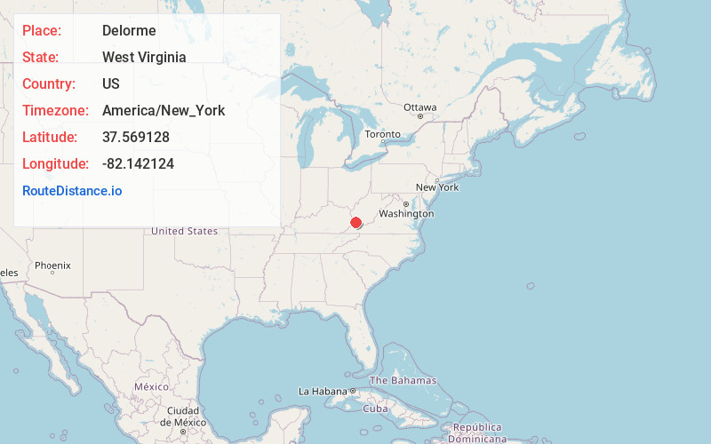
Full AddressDelorme, WV
-
Coordinates37.5691277, -82.142124
-
NeighborhoodDelorme
-
LocationDelorme , West Virginia , US
-
TimezoneAmerica/New_York
-
Current Local Time5:43:21 AM America/New_YorkMonday, June 2, 2025
-
Page Views0
About Delorme
Delorme, also known as Edgarton, is an unincorporated community in Mingo County, West Virginia, United States. Delorme is located along the Tug Fork across from the state of Kentucky.
It was formerly served by the Norfolk and Western Railway and reportedly once had as many as seven bars.


Nearby Places
Found 10 places within 50 miles

Freeburn
0.3 mi
0.5 km
Freeburn, KY 41528
Get directions

Cedar
2.3 mi
3.7 km
Cedar, WV 25678
Get directions

McCarr
3.6 mi
5.8 km
McCarr, KY 41544
Get directions

Phelps
3.8 mi
6.1 km
Phelps, KY 41553
Get directions

Matewan
3.8 mi
6.1 km
Matewan, WV
Get directions

Red Jacket
5.5 mi
8.9 km
Red Jacket, WV
Get directions
Merrimac
6.1 mi
9.8 km
Merrimac, WV 25661
Get directions
Coleman
6.5 mi
10.5 km
Coleman, KY 41553
Get directions
Lindsey
6.5 mi
10.5 km
Lindsey, WV 25678
Get directions
Taylorville
6.6 mi
10.6 km
Taylorville, WV 25670
Get directions
Location Links
Local Weather
Weather Information
Coming soon!
Location Map
Static map view of Delorme, West Virginia
Browse Places by Distance
Places within specific distances from Delorme
Short Distances
Long Distances
Click any distance to see all places within that range from Delorme. Distances shown in miles (1 mile ≈ 1.61 kilometers).