Distance to Denning Township, Illinois

Calculating Your Route
Just a moment while we process your request...
Location Information
-
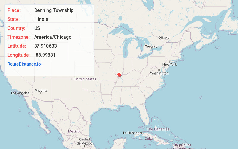
Full AddressDenning Township, IL
-
Coordinates37.9106334, -88.9988098
-
LocationDenning Township , Illinois , US
-
TimezoneAmerica/Chicago
-
Current Local Time11:16:52 PM America/ChicagoMonday, June 2, 2025
-
Page Views0
About Denning Township
Denning Township is one of twelve townships in Franklin County, Illinois, USA. As of the 2020 census, its population was 4,729 and it contained 2,352 housing units.
Nearby Places
Found 10 places within 50 miles

Cambon
0.8 mi
1.3 km
Cambon, Denning Township, IL 62896
Get directions
Orient
1.3 mi
2.1 km
Orient, IL
Get directions
Plumfield
1.4 mi
2.3 km
Plumfield, IL 62896
Get directions

Zeigler
3.0 mi
4.8 km
Zeigler, IL
Get directions
Freeman Spur
3.4 mi
5.5 km
Freeman Spur, IL
Get directions
Cleburne
3.5 mi
5.6 km
Cleburne, IL 62865
Get directions

West Frankfort
4.2 mi
6.8 km
West Frankfort, IL 62896
Get directions

Buckner
5.1 mi
8.2 km
Buckner, IL
Get directions

Christopher
5.2 mi
8.4 km
Christopher, IL
Get directions
Chittyville
5.8 mi
9.3 km
Chittyville, Herrin, IL 62948
Get directions
Location Links
Local Weather
Weather Information
Coming soon!
Location Map
Static map view of Denning Township, Illinois
Browse Places by Distance
Places within specific distances from Denning Township
Short Distances
Long Distances
Click any distance to see all places within that range from Denning Township. Distances shown in miles (1 mile ≈ 1.61 kilometers).