Distance to Denny, South Carolina

Calculating Your Route
Just a moment while we process your request...
Location Information
-
Full AddressDenny, SC 29138
-
Coordinates34.0654138, -81.7142738
-
LocationSouth Carolina , US
-
TimezoneAmerica/New_York
-
Current Local Time11:33:49 PM America/New_YorkSaturday, June 21, 2025
-
Page Views0
Nearby Places
Found 10 places within 50 miles

Colemans Crossroads
4.4 mi
7.1 km
Colemans Crossroads, SC 29138
Get directions
Emory
5.4 mi
8.7 km
Emory, SC 29138
Get directions

Saluda
5.5 mi
8.9 km
Saluda, SC 29138
Get directions
Chapmans Crossroads
6.1 mi
9.8 km
Chapmans Crossroads, SC 29138
Get directions
Limp
9.5 mi
15.3 km
Limp, SC 29138
Get directions
Good Hope
10.3 mi
16.6 km
Good Hope, SC 29138
Get directions
Silverstreet
10.5 mi
16.9 km
Silverstreet, SC
Get directions
Stoney Hill
10.6 mi
17.1 km
Stoney Hill, SC 29127
Get directions
Owdoms
11.0 mi
17.7 km
Owdoms, SC 29138
Get directions
Speigner
11.2 mi
18.0 km
Speigner, SC 29166
Get directions
Location Links
Local Weather
Weather Information
Coming soon!
Location Map
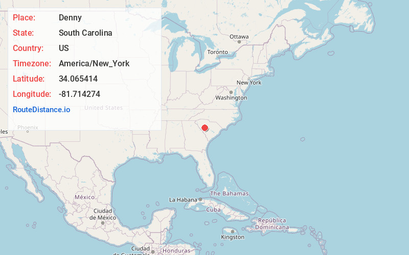
Static map view of Denny, South Carolina
Browse Places by Distance
Places within specific distances from Denny
Short Distances
Long Distances
Click any distance to see all places within that range from Denny. Distances shown in miles (1 mile ≈ 1.61 kilometers).