Distance to Saluda, South Carolina

Calculating Your Route
Just a moment while we process your request...
Location Information
-
Full AddressSaluda, SC 29138
-
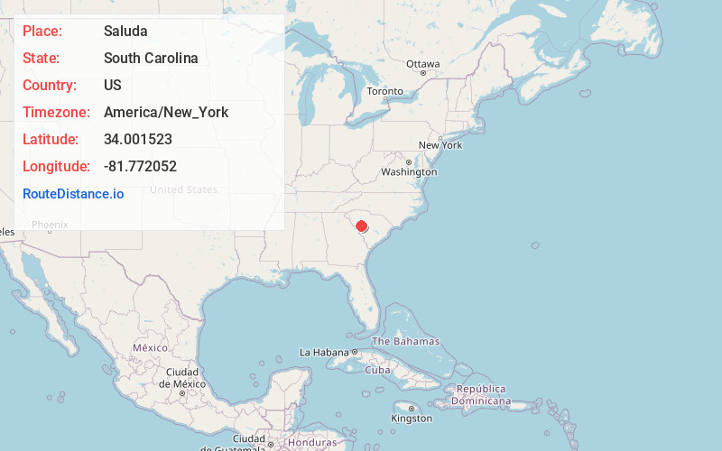
Coordinates34.0015232, -81.7720522
-
LocationSaluda , South Carolina , US
-
TimezoneAmerica/New_York
-
Current Local Time3:49:39 AM America/New_YorkFriday, June 20, 2025
-
Website
-
Page Views0
About Saluda
Saluda is a town in Saluda County, South Carolina, United States, along the Little Saluda River. The population was 3,565 at the 2010 census. It is the county seat of Saluda County.


Nearby Places
Found 10 places within 50 miles

Batesburg-Leesville
14.9 mi
24.0 km
Batesburg-Leesville, SC
Get directions

Newberry
20.8 mi
33.5 km
Newberry, SC 29108
Get directions

Greenwood
26.0 mi
41.8 km
Greenwood, SC
Get directions

Lake Murray of Richland
30.3 mi
48.8 km
Lake Murray of Richland, SC
Get directions

Aiken
30.6 mi
49.2 km
Aiken, SC
Get directions

Lexington
30.7 mi
49.4 km
Lexington, SC
Get directions

Red Bank
31.0 mi
49.9 km
Red Bank, SC 29073
Get directions

Clinton
33.1 mi
53.3 km
Clinton, SC 29325
Get directions

Belvedere
34.0 mi
54.7 km
Belvedere, SC 29841
Get directions

Irmo
34.2 mi
55.0 km
Irmo, SC
Get directions
Location Links
Local Weather
Weather Information
Coming soon!
Location Map
Static map view of Saluda, South Carolina
Browse Places by Distance
Places within specific distances from Saluda
Short Distances
Long Distances
Click any distance to see all places within that range from Saluda. Distances shown in miles (1 mile ≈ 1.61 kilometers).