Distance to Denton Crossroads, Tennessee

Calculating Your Route
Just a moment while we process your request...
Location Information
-
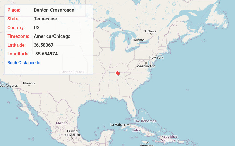
Full AddressDenton Crossroads, TN 38575
-
Coordinates36.5836698, -85.6549735
-
LocationTennessee , US
-
TimezoneAmerica/Chicago
-
Current Local Time2:03:16 AM America/ChicagoSunday, June 29, 2025
-
Page Views0
Nearby Places
Found 10 places within 50 miles

Hestand
5.1 mi
8.2 km
Hestand, KY 42167
Get directions
Arcott
7.1 mi
11.4 km
Arcott, TN 38551
Get directions

Tompkinsville
8.4 mi
13.5 km
Tompkinsville, KY 42167
Get directions

Celina
8.6 mi
13.8 km
Celina, TN 38551
Get directions
Gamaliel
8.8 mi
14.2 km
Gamaliel, KY 42140
Get directions
Walnut Shade
9.7 mi
15.6 km
Walnut Shade, TN 37150
Get directions
Baptist Ridge
10.0 mi
16.1 km
Baptist Ridge, TN 38568
Get directions
North Springs
10.2 mi
16.4 km
North Springs, TN 38588
Get directions
Sugar Creek
10.4 mi
16.7 km
Sugar Creek, TN 38562
Get directions
Raydure
10.8 mi
17.4 km
Raydure, KY 42167
Get directions
Location Links
Local Weather
Weather Information
Coming soon!
Location Map
Static map view of Denton Crossroads, Tennessee
Browse Places by Distance
Places within specific distances from Denton Crossroads
Short Distances
Long Distances
Click any distance to see all places within that range from Denton Crossroads. Distances shown in miles (1 mile ≈ 1.61 kilometers).