Distance to Dentontown, Mississippi

Calculating Your Route
Just a moment while we process your request...
Location Information
-
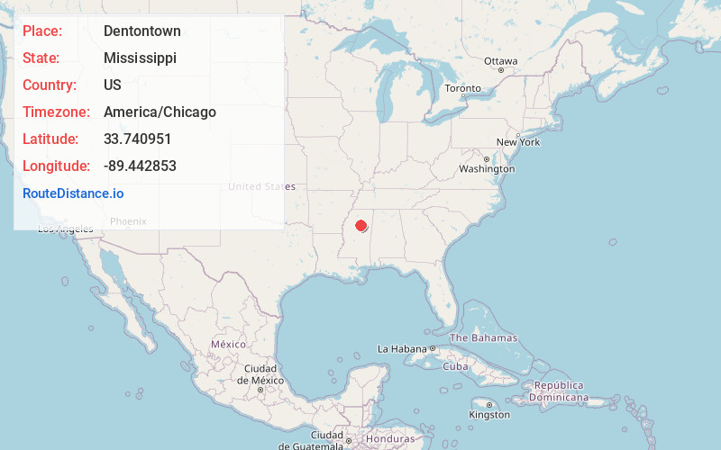
Full AddressDentontown, MS 38916
-
Coordinates33.7409506, -89.442853
-
LocationDentontown , Mississippi , US
-
TimezoneAmerica/Chicago
-
Current Local Time10:00:56 PM America/ChicagoMonday, June 16, 2025
-
Page Views0
Nearby Places
Found 10 places within 50 miles

Slate Springs
3.9 mi
6.3 km
Slate Springs, MS 38916
Get directions
Big Creek
7.9 mi
12.7 km
Big Creek, MS 38914
Get directions
Misterton
8.3 mi
13.4 km
Misterton, MS 38925
Get directions
Lilac
9.7 mi
15.6 km
Lilac, MS 38925
Get directions
Calhoun City
10.9 mi
17.5 km
Calhoun City, MS 38916
Get directions
Derma
12.1 mi
19.5 km
Derma, MS
Get directions

Walthall
13.3 mi
21.4 km
Walthall, MS
Get directions
Lodi
13.9 mi
22.4 km
Lodi, MS 39747
Get directions
Skuna
15.0 mi
24.1 km
Skuna, MS 38915
Get directions
Pittsboro
15.0 mi
24.1 km
Pittsboro, MS 38951
Get directions
Location Links
Local Weather
Weather Information
Coming soon!
Location Map
Static map view of Dentontown, Mississippi
Browse Places by Distance
Places within specific distances from Dentontown
Short Distances
Long Distances
Click any distance to see all places within that range from Dentontown. Distances shown in miles (1 mile ≈ 1.61 kilometers).