Distance to Denver, Iowa

Calculating Your Route
Just a moment while we process your request...
Location Information
-
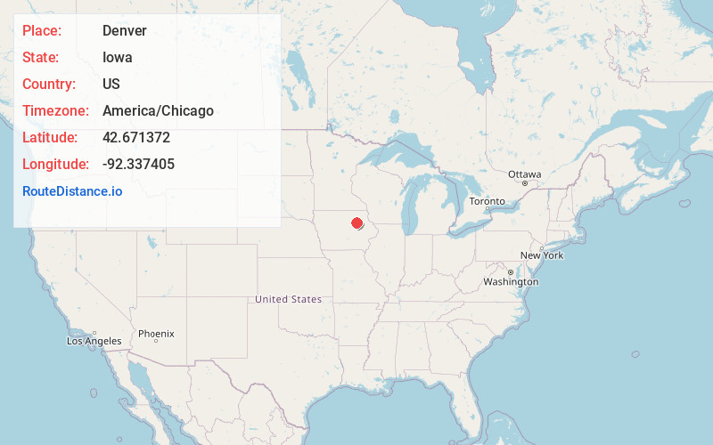
Full AddressDenver, IA 50622
-
Coordinates42.6713718, -92.3374045
-
LocationDenver , Iowa , US
-
TimezoneAmerica/Chicago
-
Current Local Time1:17:30 PM America/ChicagoTuesday, June 24, 2025
-
Website
-
Page Views0
About Denver
Denver is a city in Bremer County in the U.S. state of Iowa. The population was 1,919 at the time of the 2020 census. It is part of the Waterloo–Cedar Falls Metropolitan Statistical Area.
Nearby Places
Found 10 places within 50 miles

Waverly
7.6 mi
12.2 km
Waverly, IA 50677
Get directions

Cedar Falls
10.9 mi
17.5 km
Cedar Falls, IA
Get directions

Waterloo
12.3 mi
19.8 km
Waterloo, IA
Get directions

Evansdale
14.3 mi
23.0 km
Evansdale, IA 50707
Get directions

Sumner
17.4 mi
28.0 km
Sumner, IA 50674
Get directions

Hudson
19.3 mi
31.1 km
Hudson, IA
Get directions
Jesup
19.4 mi
31.2 km
Jesup, IA 50648
Get directions

Oelwein
21.6 mi
34.8 km
Oelwein, IA 50662
Get directions

La Porte City
25.7 mi
41.4 km
La Porte City, IA 50651
Get directions

Independence
26.8 mi
43.1 km
Independence, IA 50644
Get directions
Location Links
Local Weather
Weather Information
Coming soon!
Location Map
Static map view of Denver, Iowa
Browse Places by Distance
Places within specific distances from Denver
Short Distances
Long Distances
Click any distance to see all places within that range from Denver. Distances shown in miles (1 mile ≈ 1.61 kilometers).