Distance to Derby, Indiana

Calculating Your Route
Just a moment while we process your request...
Location Information
-
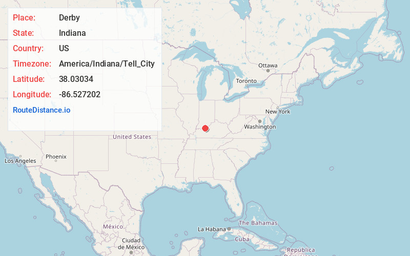
Full AddressDerby, IN 47525
-
Coordinates38.03034, -86.5272018
-
LocationDerby , Indiana , US
-
TimezoneAmerica/Indiana/Tell_City
-
Current Local Time1:07:51 AM America/Indiana/Tell_CityThursday, June 19, 2025
-
Page Views0
About Derby
Derby is an unincorporated community along the Ohio River in far southern Union Township, Perry County, in the U.S. state of Indiana. It lies at the intersection of State Roads 66 and 70 above the city of Tell City, the county seat of Perry County.


Nearby Places
Found 10 places within 50 miles

Chenaultt
1.2 mi
1.9 km
Chenaultt, KY 40170
Get directions
Gerald
3.0 mi
4.8 km
Gerald, Tobin Township, IN 47525
Get directions
Magnet
5.7 mi
9.2 km
Magnet, IN 47520
Get directions
Leopold
5.9 mi
9.5 km
Leopold, IN 47551
Get directions

Union Star
7.6 mi
12.2 km
Union Star, KY 40170
Get directions
Stephensport
8.1 mi
13.0 km
Stephensport, KY
Get directions
Addison
8.2 mi
13.2 km
Addison, KY 40170
Get directions
Andyville
8.4 mi
13.5 km
Andyville, KY 40161
Get directions
Frymire
8.6 mi
13.8 km
Frymire, KY 40176
Get directions

Alton
8.7 mi
14.0 km
Alton, IN
Get directions
Location Links
Local Weather
Weather Information
Coming soon!
Location Map
Static map view of Derby, Indiana
Browse Places by Distance
Places within specific distances from Derby
Short Distances
Long Distances
Click any distance to see all places within that range from Derby. Distances shown in miles (1 mile ≈ 1.61 kilometers).