Distance to Leopold, Indiana

Calculating Your Route
Just a moment while we process your request...
Location Information
-
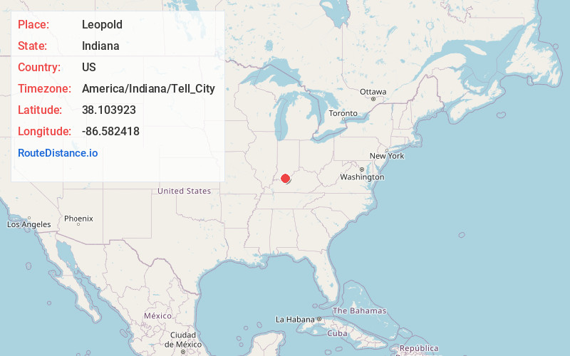
Full AddressLeopold, IN 47551
-
Coordinates38.103923, -86.5824175
-
LocationLeopold , Indiana , US
-
TimezoneAmerica/Indiana/Tell_City
-
Current Local Time2:54:43 AM America/Indiana/Tell_CityThursday, June 5, 2025
-
Page Views0
About Leopold
Leopold is a small unincorporated community and Census-designated place in Leopold Township, Perry County, in the U.S. state of Indiana.
With a population of less than 100, Leopold is the site of a Roman Catholic church, St. Augustine; a general store, Guillaume's Store; a restaurant and Marcy's.
Nearby Places
Found 10 places within 50 miles

St Meinrad
13.2 mi
21.2 km
St Meinrad, IN 47577
Get directions

Troy
13.9 mi
22.4 km
Troy, IN
Get directions
Grantsburg
14.1 mi
22.7 km
Grantsburg, IN
Get directions

Leavenworth
14.5 mi
23.3 km
Leavenworth, IN 47137
Get directions

Tell City
14.6 mi
23.5 km
Tell City, IN
Get directions
Eckerty
15.0 mi
24.1 km
Eckerty, IN 47116
Get directions

Birdseye
15.9 mi
25.6 km
Birdseye, IN 47513
Get directions

Taswell
16.0 mi
25.7 km
Taswell, IN
Get directions

Cannelton
16.0 mi
25.7 km
Cannelton, IN 47520
Get directions
New Amsterdam
16.7 mi
26.9 km
New Amsterdam, IN
Get directions
Location Links
Local Weather
Weather Information
Coming soon!
Location Map
Static map view of Leopold, Indiana
Browse Places by Distance
Places within specific distances from Leopold
Short Distances
Long Distances
Click any distance to see all places within that range from Leopold. Distances shown in miles (1 mile ≈ 1.61 kilometers).