Distance to Taswell, Indiana

Calculating Your Route
Just a moment while we process your request...
Location Information
-
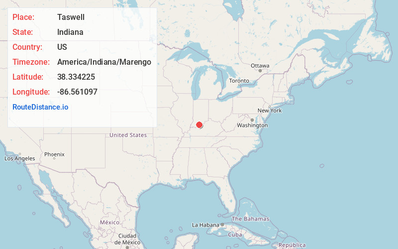
Full AddressTaswell, IN
-
Coordinates38.3342254, -86.561097
-
LocationTaswell , Indiana , US
-
TimezoneAmerica/Indiana/Marengo
-
Current Local Time12:26:43 PM America/Indiana/MarengoMonday, June 23, 2025
-
Page Views0
About Taswell
Taswell is a census-designated place in Patoka Township, Crawford County, Indiana, located on State Road 64 west of the county seat of English.


Nearby Places
Found 10 places within 50 miles

English
5.3 mi
8.5 km
English, IN 47118
Get directions

Grantsburg
5.9 mi
9.5 km
Grantsburg, IN
Get directions

Birdseye
7.4 mi
11.9 km
Birdseye, IN 47513
Get directions
Schnellville
10.6 mi
17.1 km
Schnellville, IN
Get directions
Marengo
12.1 mi
19.5 km
Marengo, IN 47140
Get directions
Celestine
12.3 mi
19.8 km
Celestine, IN
Get directions
St Anthony
14.5 mi
23.3 km
St Anthony, IN
Get directions

Leavenworth
15.0 mi
24.1 km
Leavenworth, IN 47137
Get directions

French Lick
15.2 mi
24.5 km
French Lick, IN 47432
Get directions

Dubois
15.2 mi
24.5 km
Dubois, IN 47527
Get directions
Location Links
Local Weather
Weather Information
Coming soon!
Location Map
Static map view of Taswell, Indiana
Browse Places by Distance
Places within specific distances from Taswell
Short Distances
Long Distances
Click any distance to see all places within that range from Taswell. Distances shown in miles (1 mile ≈ 1.61 kilometers).