Distance to Derby, Iowa

Calculating Your Route
Just a moment while we process your request...
Location Information
-
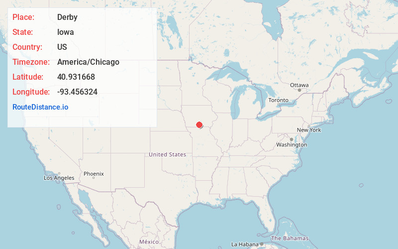
Full AddressDerby, IA 50068
-
Coordinates40.931668, -93.4563244
-
LocationDerby , Iowa , US
-
TimezoneAmerica/Chicago
-
Current Local Time8:37:16 AM America/ChicagoTuesday, June 24, 2025
-
Page Views0
About Derby
Derby is a city in Lucas County, Iowa, United States. The population was 90 at the time of the 2020 census.
Nearby Places
Found 10 places within 50 miles

Humeston
5.5 mi
8.9 km
Humeston, IA 50123
Get directions

Woodburn
9.3 mi
15.0 km
Woodburn, IA 50275
Get directions

Chariton
9.6 mi
15.4 km
Chariton, IA 50049
Get directions

Garden Grove
10.7 mi
17.2 km
Garden Grove, IA 50103
Get directions
Russell
13.9 mi
22.4 km
Russell, IA 50238
Get directions

Corydon
14.1 mi
22.7 km
Corydon, IA 50060
Get directions
Williamson
15.1 mi
24.3 km
Williamson, IA
Get directions
Allerton
16.3 mi
26.2 km
Allerton, IA 50008
Get directions

Osceola
17.7 mi
28.5 km
Osceola, IA 50213
Get directions
Lacona
18.2 mi
29.3 km
Lacona, IA 50139
Get directions
Location Links
Local Weather
Weather Information
Coming soon!
Location Map
Static map view of Derby, Iowa
Browse Places by Distance
Places within specific distances from Derby
Short Distances
Long Distances
Click any distance to see all places within that range from Derby. Distances shown in miles (1 mile ≈ 1.61 kilometers).