Distance to Derby Wharf, Massachusetts
Location Information
-
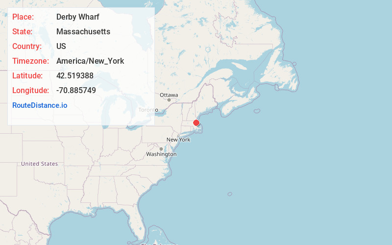
Full AddressDerby Wharf, Salem, MA 01970
-
Coordinates42.5193878, -70.8857492
-
LocationSalem , Massachusetts , US
-
TimezoneAmerica/New_York
-
Current Local Time12:55:22 AM America/New_YorkSaturday, May 17, 2025
-
Page Views0


Nearby Places
Found 10 places within 50 miles

Salem
0.5 mi
0.8 km
Salem, MA
Get directions

West Town Landing
1.1 mi
1.8 km
West Town Landing, Marblehead, MA 01945
Get directions

Marblehead
2.0 mi
3.2 km
Marblehead, MA
Get directions

Peabody
2.2 mi
3.5 km
Peabody, MA 01960
Get directions
Ryal Side
2.2 mi
3.5 km
Ryal Side, Beverly, MA 01915
Get directions
Danversport
2.7 mi
4.3 km
Danversport, Danvers, MA 01923
Get directions

Beverly
2.7 mi
4.3 km
Beverly, MA
Get directions
Proctor
3.6 mi
5.8 km
Proctor, Peabody, MA 01960
Get directions

Swampscott
3.7 mi
6.0 km
Swampscott, MA
Get directions
Phillips Point
3.9 mi
6.3 km
Phillips Point, Swampscott, MA 01907
Get directions
Location Links
Local Weather
Weather Information
Coming soon!
Location Map
Static map view of Derby Wharf, Massachusetts
Browse Places by Distance
Places within specific distances from Derby Wharf
Short Distances
Long Distances
Click any distance to see all places within that range from Derby Wharf. Distances shown in miles (1 mile ≈ 1.61 kilometers).