Distance to Desert Center, California

Calculating Your Route
Just a moment while we process your request...
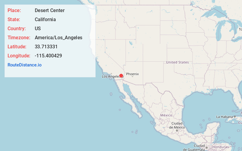
Location Information
-
Full AddressDesert Center, CA
-
Coordinates33.7133313, -115.4004287
-
LocationDesert Center , California , US
-
TimezoneAmerica/Los_Angeles
-
Current Local Time3:27:01 PM America/Los_AngelesThursday, June 5, 2025
-
Page Views0
About Desert Center
Desert Center is a census designated place in the Colorado Desert in Riverside County, California. It is in southern California, between the cities of Indio and Blythe at the junction of Interstate 10 and State Route 177, about halfway between Phoenix and Los Angeles.


Nearby Places
Found 10 places within 50 miles

Bombay Beach
31.4 mi
50.5 km
Bombay Beach, CA 92257
Get directions

North Shore
33.2 mi
53.4 km
North Shore, CA 92254
Get directions

Niland
33.4 mi
53.8 km
Niland, CA
Get directions

Mesa Verde
39.4 mi
63.4 km
Mesa Verde, CA 92225
Get directions

Mecca
40.1 mi
64.5 km
Mecca, CA
Get directions

Calipatria
41.1 mi
66.1 km
Calipatria, CA 92233
Get directions

Desert Shores
42.6 mi
68.6 km
Desert Shores, CA 92274
Get directions

Thermal
43.0 mi
69.2 km
Thermal, CA 92274
Get directions

Salton City
43.0 mi
69.2 km
Salton City, CA 92274
Get directions

Oasis
43.8 mi
70.5 km
Oasis, CA 92274
Get directions
Location Links
Local Weather
Weather Information
Coming soon!
Location Map
Static map view of Desert Center, California
Browse Places by Distance
Places within specific distances from Desert Center
Short Distances
Long Distances
Click any distance to see all places within that range from Desert Center. Distances shown in miles (1 mile ≈ 1.61 kilometers).