Distance to Niland, California

Calculating Your Route
Just a moment while we process your request...
Location Information
-
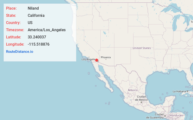
Full AddressNiland, CA
-
Coordinates33.2400366, -115.5188756
-
LocationNiland , California , US
-
TimezoneAmerica/Los_Angeles
-
Current Local Time8:47:22 PM America/Los_AngelesWednesday, June 18, 2025
-
Page Views0
About Niland
Niland is a census-designated place in Imperial County, California, United States. The town is located 8 miles north of Calipatria, 2 miles southeast of the Salton Sea. The population was 1,006 at the 2010 census, down from 1,143 in 2000. The 2020 census reported Niland's population at 756.


Nearby Places
Found 10 places within 50 miles

Calipatria
7.9 mi
12.7 km
Calipatria, CA 92233
Get directions

Westmorland
15.2 mi
24.5 km
Westmorland, CA
Get directions

Brawley
18.1 mi
29.1 km
Brawley, CA 92227
Get directions

Salton City
25.6 mi
41.2 km
Salton City, CA 92274
Get directions

Imperial
27.3 mi
43.9 km
Imperial, CA
Get directions

Holtville
30.7 mi
49.4 km
Holtville, CA 92250
Get directions

El Centro
31.1 mi
50.1 km
El Centro, CA
Get directions

North Shore
31.9 mi
51.3 km
North Shore, CA 92254
Get directions

Seeley
32.5 mi
52.3 km
Seeley, CA
Get directions

Heber
35.2 mi
56.6 km
Heber, CA 92249
Get directions
Location Links
Local Weather
Weather Information
Coming soon!
Location Map
Static map view of Niland, California
Browse Places by Distance
Places within specific distances from Niland
Short Distances
Long Distances
Click any distance to see all places within that range from Niland. Distances shown in miles (1 mile ≈ 1.61 kilometers).