Distance to Deventer, Missouri

Calculating Your Route
Just a moment while we process your request...
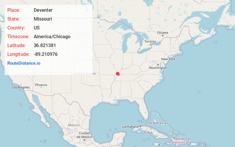
Location Information
-
Full AddressDeventer, MO 63834
-
Coordinates36.821381, -89.210976
-
LocationDeventer , Missouri , US
-
TimezoneAmerica/Chicago
-
Current Local Time2:32:44 AM America/ChicagoFriday, June 20, 2025
-
Page Views0
About Deventer
Deventer is an unincorporated community in eastern Mississippi County, Missouri, United States. It is located on Route 77, approximately 10 miles southeast of Charleston.

Nearby Places
Found 10 places within 50 miles

Wyatt
6.1 mi
9.8 km
Wyatt, MO
Get directions

Anniston
6.5 mi
10.5 km
Anniston, MO
Get directions
Pinhook
6.6 mi
10.6 km
Pinhook, MO 63845
Get directions
Wilson City
7.0 mi
11.3 km
Wilson City, MO 63834
Get directions

Columbus
7.3 mi
11.7 km
Columbus, KY
Get directions

East Prairie
10.1 mi
16.3 km
East Prairie, MO 63845
Get directions

Charleston
10.3 mi
16.6 km
Charleston, MO 63834
Get directions
Arlington
11.2 mi
18.0 km
Arlington, KY 42021
Get directions

Bardwell
11.6 mi
18.7 km
Bardwell, KY 42023
Get directions

Wickliffe
12.0 mi
19.3 km
Wickliffe, KY 42087
Get directions
Location Links
Local Weather
Weather Information
Coming soon!
Location Map
Static map view of Deventer, Missouri
Browse Places by Distance
Places within specific distances from Deventer
Short Distances
Long Distances
Click any distance to see all places within that range from Deventer. Distances shown in miles (1 mile ≈ 1.61 kilometers).