Distance to Wyatt, Missouri

Calculating Your Route
Just a moment while we process your request...
Location Information
-
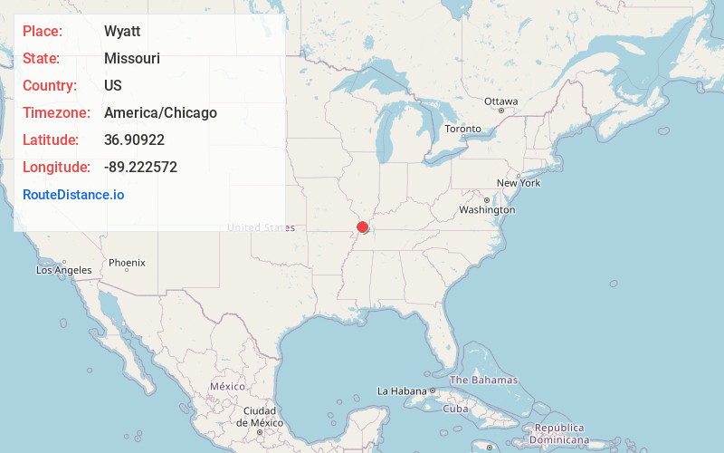
Full AddressWyatt, MO
-
Coordinates36.9092198, -89.222572
-
LocationWyatt , Missouri , US
-
TimezoneAmerica/Chicago
-
Current Local Time9:37:25 AM America/ChicagoMonday, June 23, 2025
-
Page Views0
About Wyatt
Wyatt is a city in Mississippi County, Missouri, United States. The population was 219 at the 2020 census, down from 319 in 2010. It is the easternmost city west of the Mississippi River.

Nearby Places
Found 10 places within 50 miles

Cairo
7.1 mi
11.4 km
Cairo, IL 62914
Get directions

Charleston
7.1 mi
11.4 km
Charleston, MO 63834
Get directions

Wickliffe
8.3 mi
13.4 km
Wickliffe, KY 42087
Get directions

Bardwell
12.1 mi
19.5 km
Bardwell, KY 42023
Get directions

Mound City
12.6 mi
20.3 km
Mound City, IL 62963
Get directions

East Prairie
12.7 mi
20.4 km
East Prairie, MO 63845
Get directions

Bertrand
12.7 mi
20.4 km
Bertrand, MO 63823
Get directions

Barlow
13.8 mi
22.2 km
Barlow, KY 42024
Get directions

Arlington
14.2 mi
22.9 km
Arlington, KY 42021
Get directions

Mounds
14.2 mi
22.9 km
Mounds, IL 62964
Get directions
Location Links
Local Weather
Weather Information
Coming soon!
Location Map
Static map view of Wyatt, Missouri
Browse Places by Distance
Places within specific distances from Wyatt
Short Distances
Long Distances
Click any distance to see all places within that range from Wyatt. Distances shown in miles (1 mile ≈ 1.61 kilometers).