Distance to Dick Johnson Township, Indiana

Calculating Your Route
Just a moment while we process your request...
Location Information
-
Full AddressDick Johnson Township, IN
-
Coordinates39.5659012, -87.1722037
-
LocationDick Johnson Township , Indiana , US
-
TimezoneAmerica/Indianapolis
-
Page Views0
About Dick Johnson Township
Dick Johnson Township is one of eleven townships in Clay County, Indiana. As of the 2020 census, its population was 1,355 and it contained 576 housing units.
Nearby Places
Found 10 places within 50 miles

Perth
2.0 mi
3.2 km
Perth, IN 47837
Get directions
Bee Ridge
2.0 mi
3.2 km
Bee Ridge, IN 47834
Get directions
Shady Lane
2.5 mi
4.0 km
Shady Lane, Brazil Township, IN 47834
Get directions
Coal Bluff
2.8 mi
4.5 km
Coal Bluff, IN 47874
Get directions
Cardonia
2.9 mi
4.7 km
Cardonia, IN 47834
Get directions
Cobb
2.9 mi
4.7 km
Cobb, Nevins Township, IN 47874
Get directions
Benwood
3.1 mi
5.0 km
Benwood, IN 47834
Get directions
Diamond
3.2 mi
5.1 km
Diamond, IN 47837
Get directions
Pontiac
3.3 mi
5.3 km
Pontiac, IN 47837
Get directions
Brazil Township
3.5 mi
5.6 km
Brazil Township, IN 47834
Get directions
Location Links
Local Weather
Weather Information
Coming soon!
Location Map
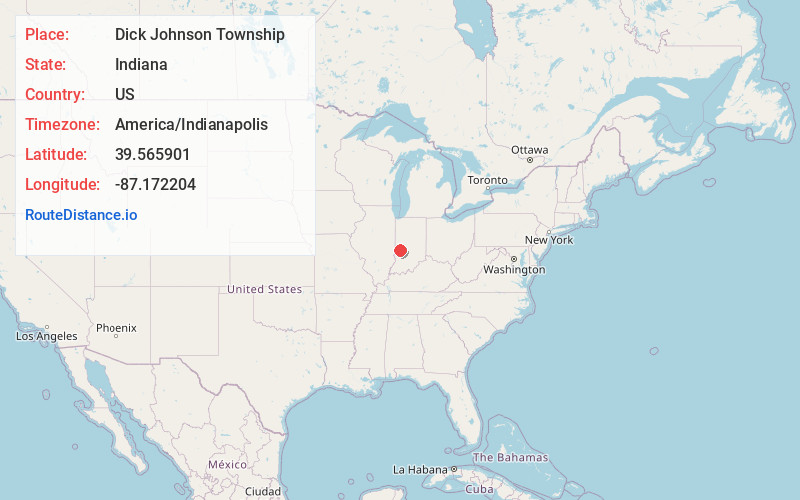
Static map view of Dick Johnson Township, Indiana
Browse Places by Distance
Places within specific distances from Dick Johnson Township
Short Distances
Long Distances
Click any distance to see all places within that range from Dick Johnson Township. Distances shown in miles (1 mile ≈ 1.61 kilometers).