Distance to Perth, Indiana

Calculating Your Route
Just a moment while we process your request...
Location Information
-
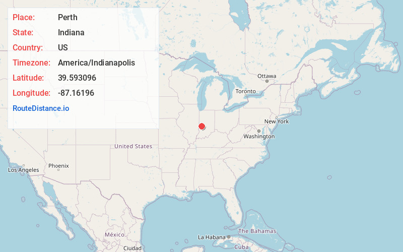
Full AddressPerth, IN 47837
-
Coordinates39.5930962, -87.1619596
-
LocationPerth , Indiana , US
-
TimezoneAmerica/Indianapolis
-
Page Views0
About Perth
Perth is an unincorporated community in Dick Johnson Township, Clay County, Indiana. It is part of the Terre Haute Metropolitan Statistical Area.
Nearby Places
Found 10 places within 50 miles

Carbon
3.0 mi
4.8 km
Carbon, IN 47837
Get directions

Bridgeton
3.8 mi
6.1 km
Bridgeton, IN
Get directions
Bee Ridge
3.9 mi
6.3 km
Bee Ridge, IN 47834
Get directions
Fontanet
4.5 mi
7.2 km
Fontanet, IN
Get directions

Brazil
5.2 mi
8.4 km
Brazil, IN 47834
Get directions
Billtown
5.9 mi
9.5 km
Billtown, IN 47834
Get directions
Knightsville
6.1 mi
9.8 km
Knightsville, IN
Get directions
Harmony
6.3 mi
10.1 km
Harmony, IN
Get directions
Turner
6.5 mi
10.5 km
Turner, IN 47834
Get directions

Rosedale
6.8 mi
10.9 km
Rosedale, IN 47874
Get directions
Location Links
Local Weather
Weather Information
Coming soon!
Location Map
Static map view of Perth, Indiana
Browse Places by Distance
Places within specific distances from Perth
Short Distances
Long Distances
Click any distance to see all places within that range from Perth. Distances shown in miles (1 mile ≈ 1.61 kilometers).