Distance to Dill, Tennessee

Calculating Your Route
Just a moment while we process your request...
Location Information
-
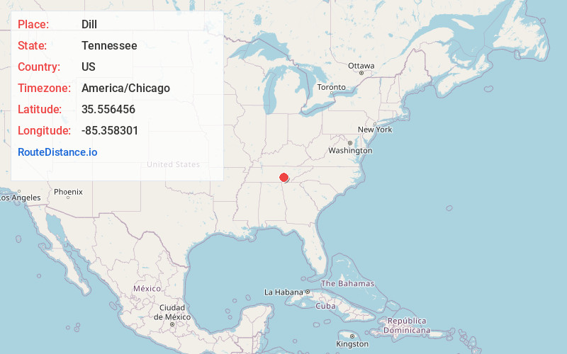
Full AddressDill, TN 37367
-
Coordinates35.5564555, -85.3583006
-
LocationTennessee , US
-
TimezoneAmerica/Chicago
-
Current Local Time8:46:40 AM America/ChicagoSunday, May 25, 2025
-
Page Views0
About Dill
Dill, also known as Brockdell, is an unincorporated community in Bledsoe County, Tennessee, United States. It lies west of the city of Pikeville, the county seat of Bledsoe County. Its elevation is 1,742 feet.
Nearby Places
Found 10 places within 50 miles

Old Cumberland
1.0 mi
1.6 km
Old Cumberland, TN 37367
Get directions
Brockdell
2.8 mi
4.5 km
Brockdell, TN 37367
Get directions
Hitchcox
3.3 mi
5.3 km
Hitchcox, TN 37367
Get directions
Lusk
5.0 mi
8.0 km
Lusk, TN 37327
Get directions
Griffith
5.7 mi
9.2 km
Griffith, TN 37367
Get directions
Pailo
6.2 mi
10.0 km
Pailo, TN 37327
Get directions
Pine Creek
6.6 mi
10.6 km
Pine Creek, TN 38585
Get directions

Fall Creek Falls
7.6 mi
12.2 km
Fall Creek Falls, Tennessee 37367
Get directions

Bledsoe County
7.8 mi
12.6 km
Bledsoe County, TN
Get directions
Mt Airy
8.0 mi
12.9 km
Mt Airy, TN 37327
Get directions
Location Links
Local Weather
Weather Information
Coming soon!
Location Map
Static map view of Dill, Tennessee
Browse Places by Distance
Places within specific distances from Dill
Short Distances
Long Distances
Click any distance to see all places within that range from Dill. Distances shown in miles (1 mile ≈ 1.61 kilometers).