Distance to Dinkey Creek, California

Calculating Your Route
Just a moment while we process your request...
Location Information
-
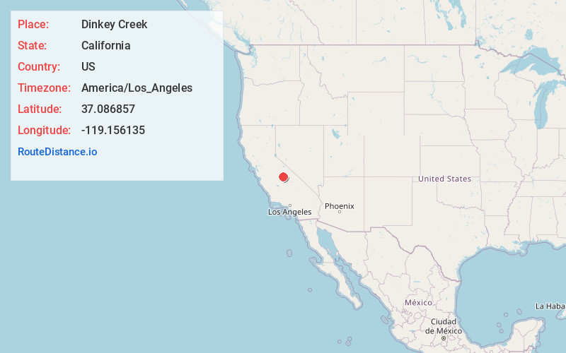
Full AddressDinkey Creek, CA 93664
-
Coordinates37.086857, -119.156135
-
LocationDinkey Creek , California , US
-
TimezoneAmerica/Los_Angeles
-
Current Local Time5:09:14 PM America/Los_AngelesTuesday, July 1, 2025
-
Page Views0
About Dinkey Creek
Dinkey Creek is an unincorporated community in Fresno County, California. It is located on Dinkey Creek, at an elevation of 5987 feet.
A post office operated at Dinkey Creek from 1925 to 1972. Dinkey was the name of a dog who lost a fight with a grizzly bear.


Nearby Places
Found 10 places within 50 miles

Bretz Mill
5.7 mi
9.2 km
Bretz Mill, CA 93664
Get directions

Shaver Lake
9.1 mi
14.6 km
Shaver Lake, CA
Get directions
Camp Sierra
9.2 mi
14.8 km
Camp Sierra, CA 93605
Get directions

Big Creek
9.5 mi
15.3 km
Big Creek, CA 93605
Get directions
Sawmill Flat
11.2 mi
18.0 km
Sawmill Flat, CA 93664
Get directions
Cedar Crest
11.2 mi
18.0 km
Cedar Crest, CA 93634
Get directions

Lakeshore
11.5 mi
18.5 km
Lakeshore, CA 93634
Get directions
Mathews Mill
12.2 mi
19.6 km
Mathews Mill, CA 93602
Get directions
Snow Bend
12.6 mi
20.3 km
Snow Bend, CA 93634
Get directions
Balch Camp
12.8 mi
20.6 km
Balch Camp, CA 93602
Get directions
Location Links
Local Weather
Weather Information
Coming soon!
Location Map
Static map view of Dinkey Creek, California
Browse Places by Distance
Places within specific distances from Dinkey Creek
Short Distances
Long Distances
Click any distance to see all places within that range from Dinkey Creek. Distances shown in miles (1 mile ≈ 1.61 kilometers).