Distance to Cedar Crest, California

Calculating Your Route
Just a moment while we process your request...
Location Information
-
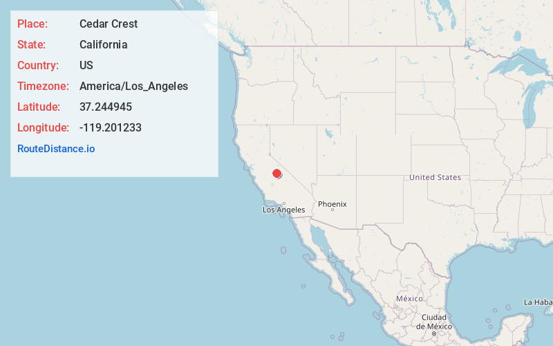
Full AddressCedar Crest, CA 93634
-
Coordinates37.2449449, -119.2012326
-
LocationCedar Crest , California , US
-
TimezoneAmerica/Los_Angeles
-
Current Local Time5:52:08 AM America/Los_AngelesSaturday, June 21, 2025
-
Page Views0
About Cedar Crest
Cedar Crest is an unincorporated community in Fresno County, California. It is located on the north side of Huntington Lake 3.5 miles northeast of Big Creek, at an elevation of 7077 feet. Cedar Crest was established as a resort community for boaters and hunters in the early 1920s.
Nearby Places
Found 10 places within 50 miles

Big Creek
3.7 mi
6.0 km
Big Creek, CA 93605
Get directions

Shaver Lake
11.6 mi
18.7 km
Shaver Lake, CA
Get directions

North Fork
17.0 mi
27.4 km
North Fork, CA
Get directions

Tollhouse
19.0 mi
30.6 km
Tollhouse, CA 93667
Get directions

Auberry
19.3 mi
31.1 km
Auberry, CA
Get directions

Bass Lake
21.5 mi
34.6 km
Bass Lake, CA
Get directions

Prather
22.4 mi
36.0 km
Prather, CA 93651
Get directions

Humphreys Station
23.8 mi
38.3 km
Humphreys Station, CA 93667
Get directions

Trimmer
24.1 mi
38.8 km
Trimmer, CA 93657
Get directions

Oakhurst
25.3 mi
40.7 km
Oakhurst, CA
Get directions
Location Links
Local Weather
Weather Information
Coming soon!
Location Map
Static map view of Cedar Crest, California
Browse Places by Distance
Places within specific distances from Cedar Crest
Short Distances
Long Distances
Click any distance to see all places within that range from Cedar Crest. Distances shown in miles (1 mile ≈ 1.61 kilometers).