Distance to Disston, Oregon

Calculating Your Route
Just a moment while we process your request...
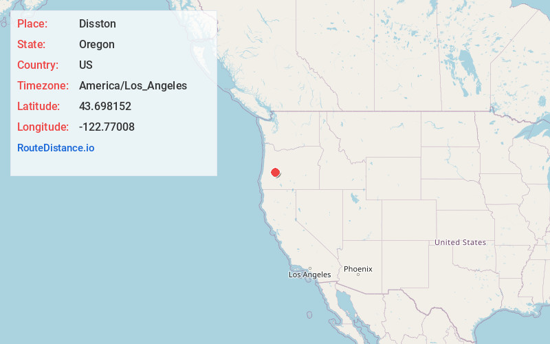
Location Information
-
Full AddressDisston, OR 97434
-
Coordinates43.6981518, -122.7700802
-
LocationDisston , Oregon , US
-
TimezoneAmerica/Los_Angeles
-
Current Local Time12:59:58 AM America/Los_AngelesSaturday, June 21, 2025
-
Page Views0
About Disston
Disston is an unincorporated community in Lane County, Oregon, United States, southeast of Cottage Grove where Brice Creek and Layng Creek join to form the Row River. It is about a mile west of the Umpqua National Forest. Its post office opened in 1906 and ran until 1974.


Nearby Places
Found 10 places within 50 miles

Westfir
14.3 mi
23.0 km
Westfir, OR 97492
Get directions

Lowell
15.2 mi
24.5 km
Lowell, OR 97452
Get directions

Dexter
15.3 mi
24.6 km
Dexter, OR 97431
Get directions

Oakridge
15.8 mi
25.4 km
Oakridge, OR
Get directions

Cottage Grove
16.0 mi
25.7 km
Cottage Grove, OR 97424
Get directions

Trent
17.5 mi
28.2 km
Trent, OR
Get directions

Creswell
19.8 mi
31.9 km
Creswell, OR 97426
Get directions
Jasper
21.7 mi
34.9 km
Jasper, OR
Get directions

Yoncalla
26.6 mi
42.8 km
Yoncalla, OR 97499
Get directions

Springfield
27.1 mi
43.6 km
Springfield, OR
Get directions
Location Links
Local Weather
Weather Information
Coming soon!
Location Map
Static map view of Disston, Oregon
Browse Places by Distance
Places within specific distances from Disston
Short Distances
Long Distances
Click any distance to see all places within that range from Disston. Distances shown in miles (1 mile ≈ 1.61 kilometers).