Distance to Dixie, Oregon

Calculating Your Route
Just a moment while we process your request...
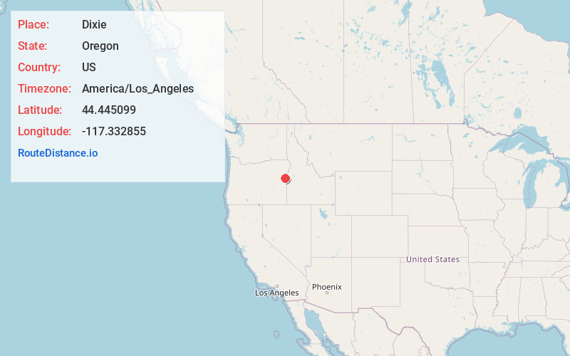
Location Information
-
Full AddressDixie, OR 97907
-
Coordinates44.445099, -117.332855
-
LocationDixie , Oregon , US
-
TimezoneAmerica/Los_Angeles
-
Current Local Time8:20:33 PM America/Los_AngelesThursday, June 19, 2025
-
Page Views0
About Dixie
Dixie is an unincorporated community in Baker County, Oregon, United States. It is along the Burnt River about 5 miles north of Lime. Dixie was so-named because it is near the confluence of the Burnt River and Dixie Creek, which in turn was named for the many gold miners from the U.S. South who worked on the creek.


Nearby Places
Found 10 places within 50 miles

Huntington
7.3 mi
11.7 km
Huntington, OR 97907
Get directions

Brogan
16.7 mi
26.9 km
Brogan, OR
Get directions

Eaton
17.1 mi
27.5 km
Eaton, ID 83672
Get directions
Clarksville
17.4 mi
28.0 km
Clarksville, OR 97819
Get directions
China Town
18.4 mi
29.6 km
China Town, OR 97819
Get directions

Jamieson
19.0 mi
30.6 km
Jamieson, OR 97909
Get directions

Pleasant Valley
21.6 mi
34.8 km
Pleasant Valley, OR 97814
Get directions
Annex
22.3 mi
35.9 km
Annex, OR 97914
Get directions

Weiser
22.4 mi
36.0 km
Weiser, ID 83672
Get directions

Richland
23.8 mi
38.3 km
Richland, OR 97870
Get directions
Location Links
Local Weather
Weather Information
Coming soon!
Location Map
Static map view of Dixie, Oregon
Browse Places by Distance
Places within specific distances from Dixie
Short Distances
Long Distances
Click any distance to see all places within that range from Dixie. Distances shown in miles (1 mile ≈ 1.61 kilometers).