Distance to Dobbs Ferry, New York

Calculating Your Route
Just a moment while we process your request...
Location Information
-
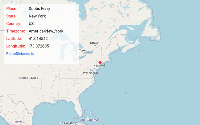
Full AddressDobbs Ferry, NY
-
Coordinates41.0145418, -73.872635
-
LocationDobbs Ferry , New York , US
-
TimezoneAmerica/New_York
-
Current Local Time3:09:23 AM America/New_YorkSunday, June 15, 2025
-
Page Views0
About Dobbs Ferry
Dobbs Ferry is a village in Westchester County, New York, United States. The population was 10,875 according to the 2010 United States Census. In 2021, its population rose to an estimated 11,456. The village of Dobbs Ferry is located in, and is a part of, the town of Greenburgh. The village ZIP Code is 10522.


Nearby Places
Found 10 places within 50 miles

Greenburgh
1.4 mi
2.3 km
Greenburgh, NY
Get directions

Tarrytown
4.3 mi
6.9 km
Tarrytown, NY
Get directions

Orangetown
4.4 mi
7.1 km
Orangetown, NY
Get directions

Scarsdale
4.6 mi
7.4 km
Scarsdale, NY 10583
Get directions

Eastchester
5.0 mi
8.0 km
Eastchester, NY
Get directions

White Plains
5.8 mi
9.3 km
White Plains, NY
Get directions

Yonkers
5.9 mi
9.5 km
Yonkers, NY
Get directions

Mt Vernon
7.3 mi
11.7 km
Mt Vernon, NY
Get directions

Mt Pleasant
7.7 mi
12.4 km
Mt Pleasant, NY
Get directions

Tenafly
7.9 mi
12.7 km
Tenafly, NJ 07670
Get directions
Location Links
Local Weather
Weather Information
Coming soon!
Location Map
Static map view of Dobbs Ferry, New York
Browse Places by Distance
Places within specific distances from Dobbs Ferry
Short Distances
Long Distances
Click any distance to see all places within that range from Dobbs Ferry. Distances shown in miles (1 mile ≈ 1.61 kilometers).