Distance to White Plains, New York

Calculating Your Route
Just a moment while we process your request...
Location Information
-
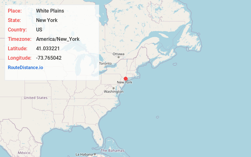
Full AddressWhite Plains, NY
-
Coordinates41.0332209, -73.7650415
-
LocationWhite Plains , New York , US
-
TimezoneAmerica/New_York
-
Current Local Time4:22:06 AM America/New_YorkWednesday, June 18, 2025
-
Website
-
Page Views0
About White Plains
White Plains is a city in and the county seat of Westchester County, New York, United States. It is an inner suburb of New York City, and a commercial hub of Westchester County, a densely populated suburban county that is home to about one million people. White Plains is located in south-central Westchester County.


Nearby Places
Found 10 places within 50 miles

Greenburgh
5.2 mi
8.4 km
Greenburgh, NY
Get directions

New Rochelle
7.9 mi
12.7 km
New Rochelle, NY
Get directions

Mt Vernon
9.1 mi
14.6 km
Mt Vernon, NY
Get directions

Yonkers
9.9 mi
15.9 km
Yonkers, NY
Get directions

Stamford
11.8 mi
19.0 km
Stamford, CT
Get directions

Clarkstown
12.0 mi
19.3 km
Clarkstown, NY
Get directions

Bronx
14.0 mi
22.5 km
Bronx, NY
Get directions

Oyster Bay
16.8 mi
27.0 km
Oyster Bay, NY
Get directions

Norwalk
19.4 mi
31.2 km
Norwalk, CT
Get directions

North Hempstead
20.7 mi
33.3 km
North Hempstead, NY
Get directions
Location Links
Local Weather
Weather Information
Coming soon!
Location Map
Static map view of White Plains, New York
Browse Places by Distance
Places within specific distances from White Plains
Short Distances
Long Distances
Click any distance to see all places within that range from White Plains. Distances shown in miles (1 mile ≈ 1.61 kilometers).