Distance to Dogpatch, Arkansas

Calculating Your Route
Just a moment while we process your request...
Location Information
-
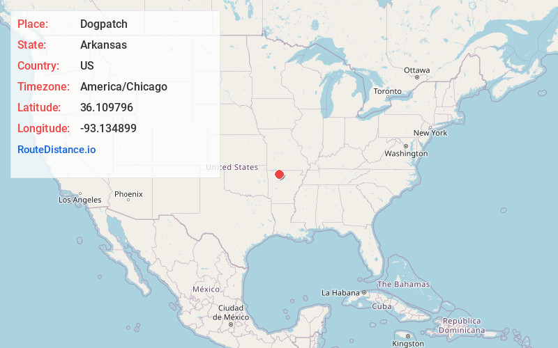
Full AddressDogpatch, AR 72601
-
Coordinates36.1097964, -93.1348986
-
LocationDogpatch , Arkansas , US
-
TimezoneAmerica/Chicago
-
Current Local Time12:47:31 PM America/ChicagoTuesday, July 1, 2025
-
Page Views0
About Dogpatch
Marble Falls is an unincorporated community in Newton County, Arkansas, United States. It lies along Arkansas's National Scenic 7 Byway between Harrison and Jasper. The Marble Falls Post Office is located in the parking lot of the now-defunct theme park called Dogpatch USA.


Nearby Places
Found 10 places within 50 miles

Pruitt
3.3 mi
5.3 km
Pruitt, AR 72601
Get directions

Erbie
5.8 mi
9.3 km
Erbie, AR 72601
Get directions

Grubb Springs
7.4 mi
11.9 km
Grubb Springs, AR 72601
Get directions

Jasper
7.6 mi
12.2 km
Jasper, AR 72641
Get directions
Bellefonte
7.9 mi
12.7 km
Bellefonte, AR 72601
Get directions

Harrison
8.4 mi
13.5 km
Harrison, AR 72601
Get directions

Valley Springs
8.5 mi
13.7 km
Valley Springs, AR
Get directions
Mt Sherman
8.7 mi
14.0 km
Mt Sherman, AR 72641
Get directions

Compton
9.4 mi
15.1 km
Compton, AR
Get directions
Carver
10.0 mi
16.1 km
Carver, AR 72640
Get directions
Location Links
Local Weather
Weather Information
Coming soon!
Location Map
Static map view of Dogpatch, Arkansas
Browse Places by Distance
Places within specific distances from Dogpatch
Short Distances
Long Distances
Click any distance to see all places within that range from Dogpatch. Distances shown in miles (1 mile ≈ 1.61 kilometers).