Distance to and from Dongola, Illinois
Dongola, IL 62926
Dongola
Illinois
US
America/Chicago
Location Information
-
Full AddressDongola, IL 62926
-
Coordinates37.3611615, -89.1659117
-
LocationDongola , Illinois , US
-
TimezoneAmerica/Chicago
-
Current Local Time8:12:41 AM America/ChicagoMonday, May 5, 2025
-
Page Views0
Directions to Nearest Cities
About Dongola
Dongola is a village in Union County, Illinois, United States. The population was 726 at the 2010 census.

Nearby Places
Found 10 places within 50 miles

Anna
8.2 mi
13.2 km
Anna, IL 62906
Get directions

Jonesboro
8.4 mi
13.5 km
Jonesboro, IL
Get directions

Cobden
12.7 mi
20.4 km
Cobden, IL 62920
Get directions

Vienna
15.2 mi
24.5 km
Vienna, IL 62995
Get directions

Goreville
17.1 mi
27.5 km
Goreville, IL
Get directions

Mounds
17.2 mi
27.7 km
Mounds, IL 62964
Get directions

Mound City
19.1 mi
30.7 km
Mound City, IL 62963
Get directions

Cape Girardeau
19.7 mi
31.7 km
Cape Girardeau, MO
Get directions

Scott City
22.1 mi
35.6 km
Scott City, MO
Get directions

La Center
22.3 mi
35.9 km
La Center, KY 42056
Get directions
Anna
8.2 mi
13.2 km
Anna, IL 62906
Jonesboro
8.4 mi
13.5 km
Jonesboro, IL
Cobden
12.7 mi
20.4 km
Cobden, IL 62920
Vienna
15.2 mi
24.5 km
Vienna, IL 62995
Goreville
17.1 mi
27.5 km
Goreville, IL
Mounds
17.2 mi
27.7 km
Mounds, IL 62964
Mound City
19.1 mi
30.7 km
Mound City, IL 62963
Cape Girardeau
19.7 mi
31.7 km
Cape Girardeau, MO
Scott City
22.1 mi
35.6 km
Scott City, MO
La Center
22.3 mi
35.9 km
La Center, KY 42056
Location Links
Local Weather
Weather Information
Coming soon!
Location Map
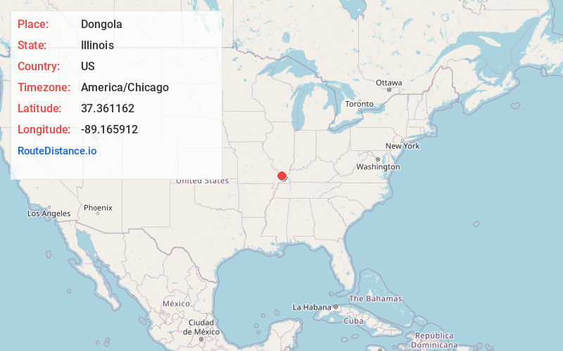
Static map view of Dongola, Illinois
Browse Places by Distance
Places within specific distances from Dongola
Short Distances
Long Distances
Click any distance to see all places within that range from Dongola. Distances shown in miles (1 mile ≈ 1.61 kilometers).