Distance to Donnelly, Pennsylvania

Calculating Your Route
Just a moment while we process your request...
Location Information
-
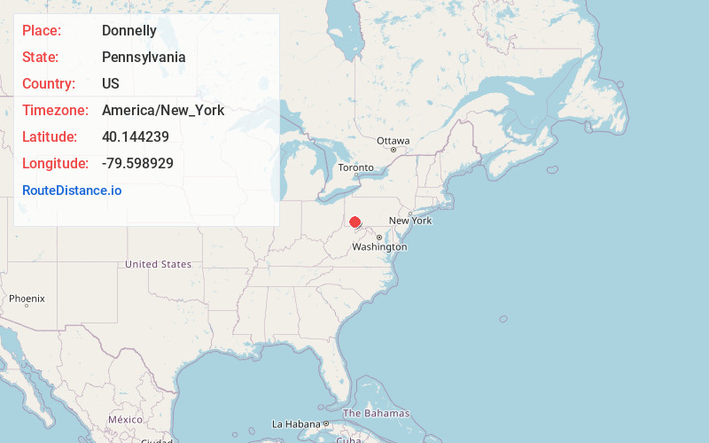
Full AddressDonnelly, East Huntingdon Township, PA 15666
-
Coordinates40.1442387, -79.5989285
-
LocationEast Huntingdon Township , Pennsylvania , US
-
TimezoneAmerica/New_York
-
Current Local Time6:58:41 PM America/New_YorkFriday, June 20, 2025
-
Page Views0
Nearby Places
Found 10 places within 50 miles

Lauffer
0.7 mi
1.1 km
Lauffer, East Huntingdon Township, PA 15666
Get directions
East Huntingdon Township
0.9 mi
1.4 km
East Huntingdon Township, PA
Get directions

Tarrs
1.8 mi
2.9 km
Tarrs, PA 15679
Get directions
Morewood
1.9 mi
3.1 km
Morewood, East Huntingdon Township, PA 15666
Get directions

Ruffs Dale
2.2 mi
3.5 km
Ruffs Dale, PA 15639
Get directions
Miedel Hill
2.3 mi
3.7 km
Miedel Hill, East Huntingdon Township, PA 15683
Get directions
Thornwood
2.3 mi
3.7 km
Thornwood, East Huntingdon Township, PA 15683
Get directions
Reagantown
2.6 mi
4.2 km
Reagantown, South Huntingdon Township, PA 15679
Get directions
North Scottdale
3.0 mi
4.8 km
North Scottdale, East Huntingdon Township, PA 15683
Get directions
Buckeye
3.0 mi
4.8 km
Buckeye, PA 15666
Get directions
Location Links
Local Weather
Weather Information
Coming soon!
Location Map
Static map view of Donnelly, Pennsylvania
Browse Places by Distance
Places within specific distances from Donnelly
Short Distances
Long Distances
Click any distance to see all places within that range from Donnelly. Distances shown in miles (1 mile ≈ 1.61 kilometers).