Distance to Reagantown, Pennsylvania

Calculating Your Route
Just a moment while we process your request...
Location Information
-
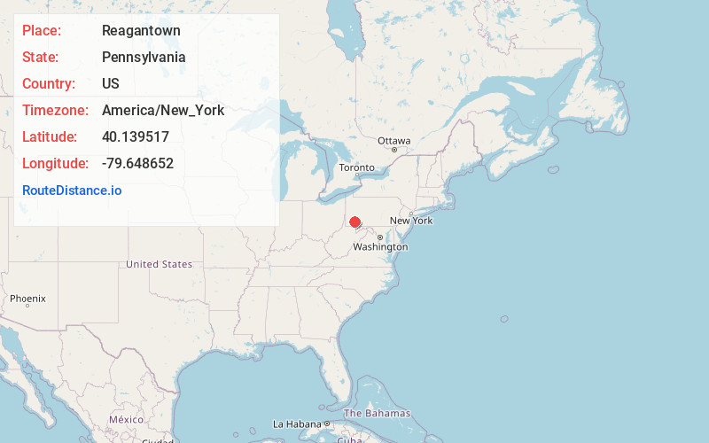
Full AddressReagantown, South Huntingdon Township, PA 15679
-
Coordinates40.1395167, -79.6486515
-
LocationSouth Huntingdon Township , Pennsylvania , US
-
TimezoneAmerica/New_York
-
Current Local Time2:55:22 AM America/New_YorkThursday, June 19, 2025
-
Page Views0
About Reagantown
Reagantown is a hamlet in the Township of East Huntingdon in Westmoreland County, Pennsylvania, United States. It lies along Pennsylvania Route 981, between Smithton and Scottdale. Suters, Smiths, Snyders, Lowes, McCurdys, Henkstellers, Reagans and Fosters were the most prominent settlers in the area.
Nearby Places
Found 10 places within 50 miles

South Huntingdon Township
1.6 mi
2.6 km
South Huntingdon Township, PA
Get directions

Miedel Hill
2.9 mi
4.7 km
Miedel Hill, East Huntingdon Township, PA 15683
Get directions

Ruffs Dale
3.3 mi
5.3 km
Ruffs Dale, PA 15639
Get directions
Lauffer
3.3 mi
5.3 km
Lauffer, East Huntingdon Township, PA 15666
Get directions
Mendon
3.3 mi
5.3 km
Mendon, South Huntingdon Township, PA 15679
Get directions

Tarrs
3.4 mi
5.5 km
Tarrs, PA 15679
Get directions
East Huntingdon Township
3.5 mi
5.6 km
East Huntingdon Township, PA
Get directions
Thornwood
3.8 mi
6.1 km
Thornwood, East Huntingdon Township, PA 15683
Get directions

Scottdale
4.2 mi
6.8 km
Scottdale, PA 15683
Get directions
Lower Tyrone Township
4.4 mi
7.1 km
Lower Tyrone Township, PA 15428
Get directions
Location Links
Local Weather
Weather Information
Coming soon!
Location Map
Static map view of Reagantown, Pennsylvania
Browse Places by Distance
Places within specific distances from Reagantown
Short Distances
Long Distances
Click any distance to see all places within that range from Reagantown. Distances shown in miles (1 mile ≈ 1.61 kilometers).