Distance to Dooley, Montana

Calculating Your Route
Just a moment while we process your request...
Location Information
-
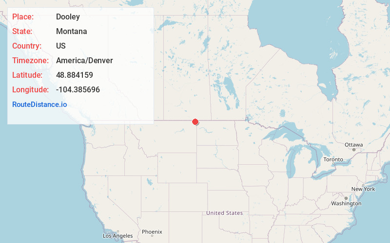
Full AddressDooley, MT 59275
-
Coordinates48.8841589, -104.385696
-
LocationDooley , Montana , US
-
TimezoneAmerica/Denver
-
Current Local Time5:44:02 PM America/DenverSunday, June 29, 2025
-
Page Views1
About Dooley
Dooley is a ghost town in northeastern Sheridan County, Montana, United States. The town was established as a station stop and one of the first four depots along the Soo Line Railroad branch line to Whitehall.


Nearby Places
Found 10 places within 50 miles

Comertown
6.3 mi
10.1 km
Comertown, MT 59275
Get directions

Raymond
8.9 mi
14.3 km
Raymond, MT
Get directions

Plentywood
11.0 mi
17.7 km
Plentywood, MT 59254
Get directions

McElroy
12.0 mi
19.3 km
McElroy, MT 59275
Get directions

Antelope
13.8 mi
22.2 km
Antelope, MT 59211
Get directions
Westby
15.2 mi
24.5 km
Westby, MT 59275
Get directions
Coalridge
15.6 mi
25.1 km
Coalridge, MT 59219
Get directions

Outlook
17.9 mi
28.8 km
Outlook, MT 59252
Get directions
Reserve
19.5 mi
31.4 km
Reserve, MT 59258
Get directions
Archer
20.3 mi
32.7 km
Archer, MT 59254
Get directions
Location Links
Local Weather
Weather Information
Coming soon!
Location Map
Static map view of Dooley, Montana
Browse Places by Distance
Places within specific distances from Dooley
Short Distances
Long Distances
Click any distance to see all places within that range from Dooley. Distances shown in miles (1 mile ≈ 1.61 kilometers).