Distance to Raymond, Montana

Calculating Your Route
Just a moment while we process your request...
Location Information
-
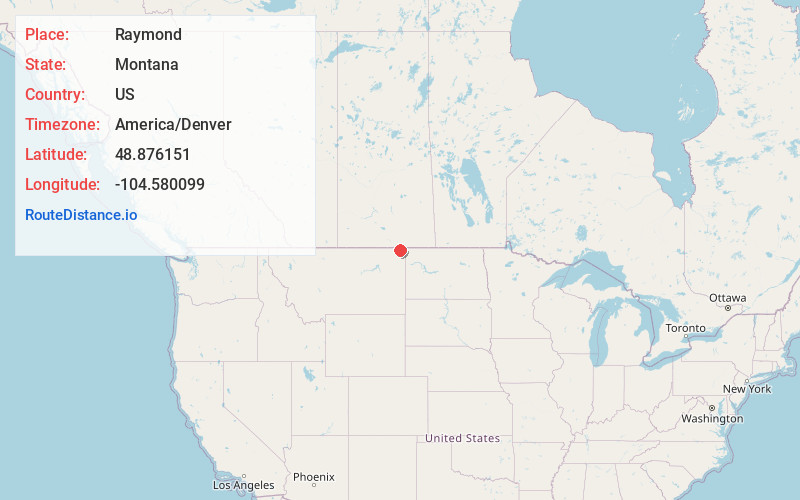
Full AddressRaymond, MT
-
Coordinates48.8761512, -104.5800994
-
LocationRaymond , Montana , US
-
TimezoneAmerica/Denver
-
Current Local Time8:06:06 AM America/DenverFriday, June 20, 2025
-
Page Views0
About Raymond
Raymond is an unincorporated hamlet in Sheridan County, Montana, United States. The community lies north of Plentywood. It is nine miles south of the Canada–US border.
The post office, since closed, opened in 1914.

Nearby Places
Found 10 places within 50 miles

Plentywood
7.1 mi
11.4 km
Plentywood, MT 59254
Get directions

Outlook
9.1 mi
14.6 km
Outlook, MT 59252
Get directions

Antelope
14.0 mi
22.5 km
Antelope, MT 59211
Get directions

Redstone
17.0 mi
27.4 km
Redstone, MT
Get directions
Reserve
19.5 mi
31.4 km
Reserve, MT 59258
Get directions

McElroy
20.8 mi
33.5 km
McElroy, MT 59275
Get directions
Westby
24.0 mi
38.6 km
Westby, MT 59275
Get directions

Medicine Lake
26.1 mi
42.0 km
Medicine Lake, MT 59247
Get directions
Whitetail
26.5 mi
42.6 km
Whitetail, MT 59276
Get directions

Flaxville
27.4 mi
44.1 km
Flaxville, MT 59222
Get directions
Location Links
Local Weather
Weather Information
Coming soon!
Location Map
Static map view of Raymond, Montana
Browse Places by Distance
Places within specific distances from Raymond
Short Distances
Long Distances
Click any distance to see all places within that range from Raymond. Distances shown in miles (1 mile ≈ 1.61 kilometers).