Distance to Whitetail, Montana

Calculating Your Route
Just a moment while we process your request...
Location Information
-
Full AddressWhitetail, MT 59276
-
Coordinates48.8962155, -105.1626389
-
LocationWhitetail , Montana , US
-
TimezoneAmerica/Denver
-
Current Local Time10:05:23 AM America/DenverSunday, June 1, 2025
-
Page Views0
About Whitetail
Whitetail is a small, unincorporated village in northern Daniels County, Montana, United States.
The area was first used as a camp along a cattle-driving route in the 1880s. The town grew with the arrival of the Soo Line Railroad in 1914.
Nearby Places
Found 9 places within 50 miles

Flaxville
6.4 mi
10.3 km
Flaxville, MT 59222
Get directions

Redstone
11.2 mi
18.0 km
Redstone, MT
Get directions

Scobey
13.8 mi
22.2 km
Scobey, MT 59263
Get directions

Outlook
17.4 mi
28.0 km
Outlook, MT 59252
Get directions

Plentywood
28.7 mi
46.2 km
Plentywood, MT 59254
Get directions

Reserve
37.8 mi
60.8 km
Reserve, MT 59258
Get directions

Medicine Lake
40.5 mi
65.2 km
Medicine Lake, MT 59247
Get directions
Homestead
43.5 mi
70.0 km
Homestead, MT 59242
Get directions

Froid
49.4 mi
79.5 km
Froid, MT
Get directions
Location Links
Local Weather
Weather Information
Coming soon!
Location Map
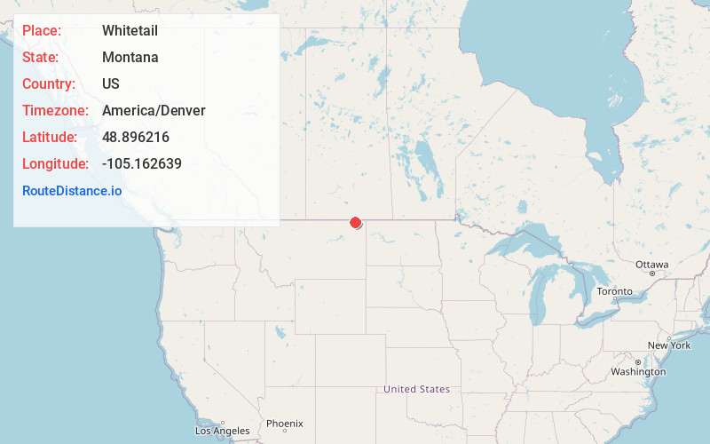
Static map view of Whitetail, Montana
Browse Places by Distance
Places within specific distances from Whitetail
Short Distances
Long Distances
Click any distance to see all places within that range from Whitetail. Distances shown in miles (1 mile ≈ 1.61 kilometers).