Distance to Dora, Arkansas

Calculating Your Route
Just a moment while we process your request...
Location Information
-
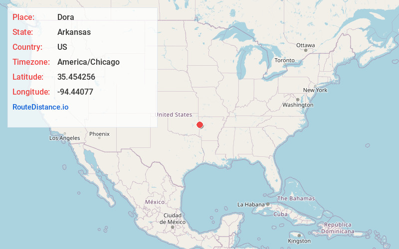
Full AddressDora, AR 72956
-
Coordinates35.4542563, -94.4407704
-
LocationDora , Arkansas , US
-
TimezoneAmerica/Chicago
-
Current Local Time5:48:06 PM America/ChicagoTuesday, May 20, 2025
-
Page Views0
About Dora
Dora is an unincorporated community and census-designated place in Crawford County in the western part of the U.S. state of Arkansas. It is located approximately three miles west of Van Buren on the Arkansas-Oklahoma border along Interstate 40.

Nearby Places
Found 10 places within 50 miles

Remy
2.8 mi
4.5 km
Remy, OK
Get directions

Roland
4.7 mi
7.6 km
Roland, OK
Get directions

Van Buren
4.8 mi
7.7 km
Van Buren, AR 72956
Get directions

Fort Smith
5.0 mi
8.0 km
Fort Smith, AR
Get directions
Long
6.2 mi
10.0 km
Long, OK 74948
Get directions

Arkoma
7.0 mi
11.3 km
Arkoma, OK 74901
Get directions

Short
7.8 mi
12.6 km
Short, OK 74948
Get directions
Belfonte
8.9 mi
14.3 km
Belfonte, OK 74948
Get directions

Cedarville
9.0 mi
14.5 km
Cedarville, AR
Get directions

Muldrow
9.5 mi
15.3 km
Muldrow, OK 74948
Get directions
Location Links
Local Weather
Weather Information
Coming soon!
Location Map
Static map view of Dora, Arkansas
Browse Places by Distance
Places within specific distances from Dora
Short Distances
Long Distances
Click any distance to see all places within that range from Dora. Distances shown in miles (1 mile ≈ 1.61 kilometers).