Distance to Dorchester, Iowa

Calculating Your Route
Just a moment while we process your request...
Location Information
-
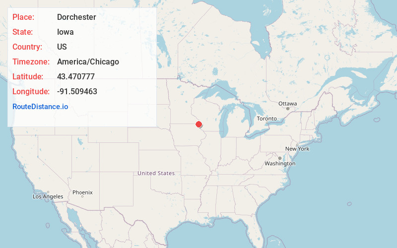
Full AddressDorchester, IA 52140
-
Coordinates43.4707774, -91.5094633
-
LocationDorchester , Iowa , US
-
TimezoneAmerica/Chicago
-
Current Local Time4:47:09 AM America/ChicagoFriday, June 20, 2025
-
Page Views0
About Dorchester
Dorchester is an unincorporated community in northwestern Allamakee County, Iowa, United States. It lies along local roads just off Iowa Highway 76, north of the city of Waukon, the county seat of Allamakee County. Its elevation is 738 feet.


Nearby Places
Found 10 places within 50 miles

Eitzen
3.5 mi
5.6 km
Eitzen, MN 55931
Get directions
Bee
3.7 mi
6.0 km
Bee, Wilmington Township, MN 55974
Get directions
Wilmington
5.5 mi
8.9 km
Wilmington, MN 55974
Get directions
Willington Grove
8.2 mi
13.2 km
Willington Grove, MN 55974
Get directions

Highlandville
8.2 mi
13.2 km
Highlandville, IA 52101
Get directions
Sattre
8.5 mi
13.7 km
Sattre, IA 52101
Get directions

Spring Grove
8.9 mi
14.3 km
Spring Grove, MN 55974
Get directions
Newhouse
10.3 mi
16.6 km
Newhouse, Spring Grove Township, MN 55954
Get directions
Lycurgus
10.6 mi
17.1 km
Lycurgus, IA 52172
Get directions
Locust
11.2 mi
18.0 km
Locust, IA 52101
Get directions
Location Links
Local Weather
Weather Information
Coming soon!
Location Map
Static map view of Dorchester, Iowa
Browse Places by Distance
Places within specific distances from Dorchester
Short Distances
Long Distances
Click any distance to see all places within that range from Dorchester. Distances shown in miles (1 mile ≈ 1.61 kilometers).