Distance to Dorlan, Pennsylvania

Calculating Your Route
Just a moment while we process your request...
Location Information
-
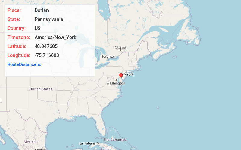
Full AddressDorlan, East Brandywine Township, PA 19335
-
Coordinates40.0476046, -75.7166033
-
LocationEast Brandywine Township , Pennsylvania , US
-
TimezoneAmerica/New_York
-
Current Local Time12:40:53 PM America/New_YorkThursday, June 19, 2025
-
Page Views0
About Dorlan
Dorlan is a populated place in Chester County, Pennsylvania, United States. It is located along Pennsylvania Route 282, north of Downingtown and just south of Marsh Creek State Park. The place is referenced as an end point for the Struble Trail at Dorlan Mill Road.
Nearby Places
Found 10 places within 50 miles

Dowlin
0.8 mi
1.3 km
Dowlin, Uwchlan Township, PA 19335
Get directions
Lyndell
1.7 mi
2.7 km
Lyndell, PA 19335
Get directions
Corner Ketch
1.9 mi
3.1 km
Corner Ketch, East Brandywine Township, PA 19335
Get directions

East Brandywine Township
2.1 mi
3.4 km
East Brandywine Township, PA 19335
Get directions
Upper Uwchlan Township
2.3 mi
3.7 km
Upper Uwchlan Township, PA
Get directions

Eagleview
2.4 mi
3.9 km
Eagleview, PA
Get directions

Eagle
2.6 mi
4.2 km
Eagle, PA
Get directions

Downingtown
2.9 mi
4.7 km
Downingtown, PA 19335
Get directions
Bondsville
2.9 mi
4.7 km
Bondsville, East Brandywine Township, PA 19335
Get directions

Uwchlan Township
3.2 mi
5.1 km
Uwchlan Township, PA
Get directions
Location Links
Local Weather
Weather Information
Coming soon!
Location Map
Static map view of Dorlan, Pennsylvania
Browse Places by Distance
Places within specific distances from Dorlan
Short Distances
Long Distances
Click any distance to see all places within that range from Dorlan. Distances shown in miles (1 mile ≈ 1.61 kilometers).